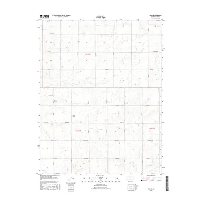
2015 Map of Iola SE
USGS Topo · Published 2015About this map
Coal Creek and its various tributaries, including Slack Cr and Goose Cr, define the drainage patterns of this rural Allen County landscape. The area is organized by a strict grid of section roads named after states, such as Maryland Rd, Florida Rd, and California Rd, reflecting the systematic agricultural development of the Kansas prairie. Local history is anchored by the Salem Cem in the north and Maple Grove Cem to the west, providing fixed points of reference for genealogical research. The presence of the Croisant Airport near Delaware Rd highlights the intersection of traditional land use with small-scale aviation. In the southern portion of the map, Turkey Br and the curiously named Vegetarian Cr flow through the rolling terrain, marking the transitions between the townships of t25s r19e and t26s r19e.
Find a feature on this map
33 named features on this map. Tap any name to fly to it.
Don’t see what you’re looking for? This feature index may not catch every label — zoom into the map to look around manually.
Map Details
Editions of this 2015 Iola SE Map
This is the sole edition of this map. No revisions or reprints were ever made.
Other maps of this area
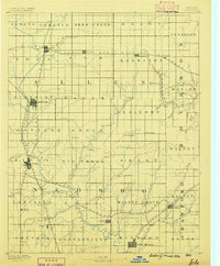
1886 · Iola
USGS Topo · 1:125,000
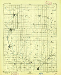
1893 · Iola
USGS Topo · 1:125,000
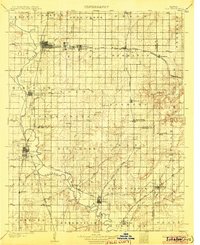
1904 · Iola
USGS Topo · 1:125,000
1947 · Joplin
USGS Topo · 1:250,000
1948 · Erie
USGS Topo · 1:62,500
1949 · Erie
USGS Topo · 1:62,500
1949 · Joplin
USGS Topo · 1:250,000
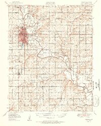
1951 · Chanute
USGS Topo · 1:62,500
1954 · Joplin
USGS Topo · 1:250,000
1958 · Joplin
USGS Topo · 1:250,000