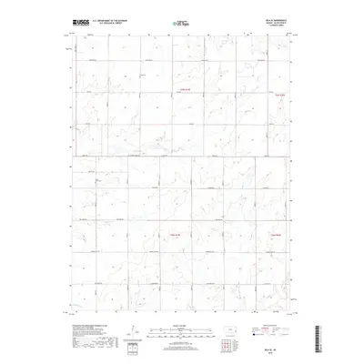
2018 Map of Iola SE
USGS Topo · Published 2018About this map
The agricultural landscape of southeast Kansas is defined here by the strictly ordered section lines and the winding tributaries of the Neosho River basin. Coal Creek and Slack Cr meander through the central townships, while more unusually named waterways like Vegetarian Cr and Turkey Br drain the southern sections. This area of Allen County is marked by its systematic grid, punctuated by local landmarks like Salem Cem in the north and Maple Grove Cem further south. The map documents the persistent rural character of the region, where the 5th Standard Parallel serves as a primary survey boundary for land ownership. Traces of early 20th-century development are visible in the named road network, with routes such as Tank Farm Rd and Delaware Rd crossing the undulating prairie.
Find a feature on this map
26 named features on this map. Tap any name to fly to it.
Don’t see what you’re looking for? This feature index may not catch every label — zoom into the map to look around manually.
Map Details
Editions of this 2018 Iola SE Map
This is the sole edition of this map. No revisions or reprints were ever made.
Other maps of this area
1886 · Iola
USGS Topo · 1:125,000
1893 · Iola
USGS Topo · 1:125,000
1904 · Iola
USGS Topo · 1:125,000
1947 · Joplin
USGS Topo · 1:250,000
1948 · Erie
USGS Topo · 1:62,500
1949 · Erie
USGS Topo · 1:62,500
1949 · Joplin
USGS Topo · 1:250,000
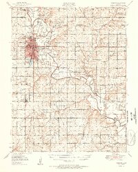
1951 · Chanute
USGS Topo · 1:62,500
1954 · Joplin
USGS Topo · 1:250,000
1958 · Joplin
USGS Topo · 1:250,000