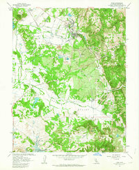
1962 Map of Ione
USGS Topo · Published 1963About this map
The Preston School of Industry dominates the northern landscape of this Amador County region, its grounds and Preston Reservoir situated just north of the Ione town site. The area is a complex network of industrial and agricultural activity, where the Southern Pacific and Amador Central railroads converge to serve the local economy. Clay extraction is a defining characteristic of the terrain, with numerous Claypits and the settlement of Firebrick indicating the importance of mineral resources in Ione Valley.
Find a feature on this map
57 named features on this map. Tap any name to fly to it.
Don’t see what you’re looking for? This feature index may not catch every label — zoom into the map to look around manually.
Map Details
Editions of this 1962 Ione Map
2 editions found
Other maps of this area

1889 · Jackson
USGS Topo · 1:125,000

1892 · Jackson
USGS Topo · 1:125,000

1894 · Lodi
USGS Topo · 1:125,000

1897 · Jackson
USGS Topo · 1:125,000

1902 · Jackson
USGS Topo · 1:125,000

1909 · Carbondale
USGS Topo · 1:31,680

1909 · Goose Creek
USGS Topo · 1:31,680

1909 · Clements
USGS Topo · 1:31,680
1939 · Bellota
USGS Topo · 1:62,500

1941 · Sutter Creek
USGS Topo · 1:62,500