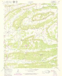
1947 Map of Ione
USGS Topo · Published 1979About this map
The Petit Jean River meanders across this late-1940s landscape, defining the topography of the valley between Barber Mountain and Cauthron Mountain. Local life is anchored by small settlements and rural institutions, including the Earl Prairie District School No 66 and several hilltop houses of worship like Mt View Church and Pine Log Church. A Gin mill near Lucas points to the agricultural processing common in the river bottomlands of this era. This survey, updated in the late 1970s, captures a transition where the northern reaches of the Ouachita National Forest meet the farmland around Ione and Elm Park. The map documents a network of fords and creeks, such as Old Freedom Cr and Pack Saddle Creek, which supported travel before modern infrastructure became widespread.
Find a feature on this map
25 named features on this map. Tap any name to fly to it.
Don’t see what you’re looking for? This feature index may not catch every label — zoom into the map to look around manually.
Map Details
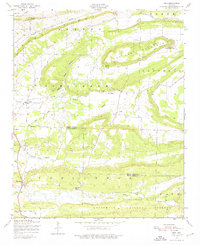
Editions of this 1947 Ione Map
2 editions found
Other maps of this area

1879 · Poteau Mountain
USGS Topo · 1:62,500

1887 · Poteau Mountain #1
USGS Topo · 1:62,500

1887 · Mount Ida #2
USGS Topo · 1:62,500

1887 · Magazine Mountain #3
USGS Topo · 1:62,500

1887 · Magazine Mountain
USGS Topo · 1:62,500

1890 · Magazine Mountain
USGS Topo · 1:125,000

1890 · Mount Ida
USGS Topo · 1:125,000

1890 · Fort Smith
USGS Topo · 1:125,000

1890 · Poteau Mountain
USGS Topo · 1:125,000

1899 · Poteau Mountain
USGS Topo · 1:125,000