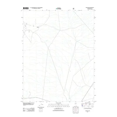
2011 Map of Ione NW
USGS Topo · Published 2011About this map
Ellsworth Canyon cuts through this high desert landscape on the border of Nevada and Nye counties, where the drainage patterns of the Great Basin dictate the path of travel. This 2011 survey illustrates a network of forest and secondary roads, including NFD 107 Trl and route 107, that provide access to the remote terrain. The land is defined by seasonal watercourses like Sand Wash and Ione Wash, which reveal the hydrologic character of the region. Researchers interested in the public lands of the central Nevada desert will find this sheet useful for tracing the primitive road system that connects these remote canyons and washes.
Find a feature on this map
8 named features on this map. Tap any name to fly to it.
Don’t see what you’re looking for? This feature index may not catch every label — zoom into the map to look around manually.
Map Details
Editions of this 2011 Ione NW Map
This is the sole edition of this map. No revisions or reprints were ever made.
Other maps of this area

1907 · Tonopah
USGS Topo · 1:250,000

1908 · Tonopah
USGS Topo · 1:250,000

1948 · Paradise Peak
USGS Topo · 1:62,500

1948 · Ione
USGS Topo · 1:62,500

1950 · Paradise Peak
USGS Topo · 1:62,500

1950 · Ione
USGS Topo · 1:62,500

1955 · Millett
USGS Topo · 1:250,000

1956 · South Shoshone Peak
USGS Topo · 1:62,500

1956 · Tonopah
USGS Topo · 1:250,000

1959 · Tonopah
USGS Topo · 1:250,000