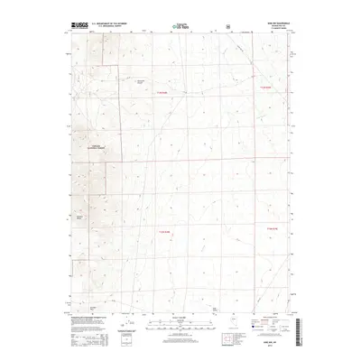
2014 Map of Ione NW
USGS Topo · Published 2014About this map
Toiyabe National Forest lands dominate this high-desert Nevada landscape, where the ridges of the Paradise Range descend into the broad Ione Valley. This 2014 survey captures a terrain defined by drainage patterns and transit corridors, including the winding Ione Wash and Idlewild Cr. The area is characterized by significant topographic relief, most notably at Brunton Pass and the steep terrain surrounding Ellsworth Canyon. Human presence is marked by a sparse network of forest roads and regional routes like NV-844 and the descriptively named Snake Bite Rd, which navigate the township and range grids of T12N and T13N. These labels reflect the continued reliance on established paths through the Great Basin’s interior, serving ranching, recreation, and land management interests in this part of Nye County.
Find a feature on this map
17 named features on this map. Tap any name to fly to it.
Don’t see what you’re looking for? This feature index may not catch every label — zoom into the map to look around manually.
Map Details
Editions of this 2014 Ione NW Map
This is the sole edition of this map. No revisions or reprints were ever made.
Other maps of this area

1907 · Tonopah
USGS Topo · 1:250,000

1908 · Tonopah
USGS Topo · 1:250,000
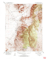
1948 · Paradise Peak
USGS Topo · 1:62,500
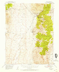
1948 · Ione
USGS Topo · 1:62,500
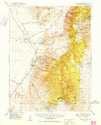
1950 · Paradise Peak
USGS Topo · 1:62,500
1950 · Ione
USGS Topo · 1:62,500

1955 · Millett
USGS Topo · 1:250,000
1956 · South Shoshone Peak
USGS Topo · 1:62,500

1956 · Tonopah
USGS Topo · 1:250,000

1959 · Tonopah
USGS Topo · 1:250,000