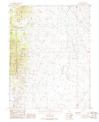
1988 Map of Ione NW
USGS Topo · Published 1988About this map
Ellsworth sits at the edge of the Paradise Range, serving as a focal point for mining activity in the western portion of this high-desert landscape. The area is marked by a legacy of mineral exploration, evidenced by numerous Prospects, the Kohinoor Prospect, and visible Tailings that underscore the region's extractive history. A local Cem remains near the settlement, offering a tangible connection to the early residents who worked these claims.
Find a feature on this map
17 named features on this map. Tap any name to fly to it.
Don’t see what you’re looking for? This feature index may not catch every label — zoom into the map to look around manually.
Map Details
Editions of this 1988 Ione NW Map
This is the sole edition of this map. No revisions or reprints were ever made.
Other maps of this area

1907 · Tonopah
USGS Topo · 1:250,000

1908 · Tonopah
USGS Topo · 1:250,000
1948 · Paradise Peak
USGS Topo · 1:62,500
1948 · Ione
USGS Topo · 1:62,500
1950 · Paradise Peak
USGS Topo · 1:62,500
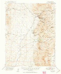
1950 · Ione
USGS Topo · 1:62,500

1955 · Millett
USGS Topo · 1:250,000
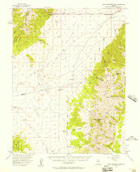
1956 · South Shoshone Peak
USGS Topo · 1:62,500

1956 · Tonopah
USGS Topo · 1:250,000

1959 · Tonopah
USGS Topo · 1:250,000