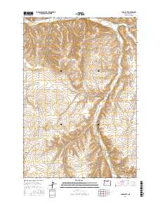
2017 Map of Ione South
USGS Topo · Published 2017About this map
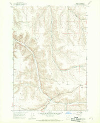
Jordan Butte dominates the central landscape of this eastern Oregon survey, rising above a network of deeply etched drainages. The area south of Ione is defined by a series of named ravines, including McMillan Canyon in the northeast and McElligott Canyon to the southwest, which funnel seasonal water toward Willow Cr and Rhea Cr. The map captures a rural interior where transportation is dictated by the steep topography, evidenced by the winding path of Rattlesnake Grade and the long stretches of Ione-Gooseberry Rd. Genealogists and local historians can trace the paths of legacy ranching routes like Liberty School Rd and Pettys Canyon Ln, which highlight the placement of early homesteads and community hubs in this high-desert environment before modern land use shifts.
Find a feature on this map
30 named features on this map. Tap any name to fly to it.
Don’t see what you’re looking for? This feature index may not catch every label — zoom into the map to look around manually.
Map Details
Editions of this 2017 Ione South Map
This is the sole edition of this map. No revisions or reprints were ever made.
Other maps of this area
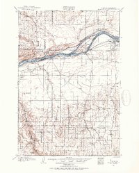
1906 · Blalock Island
USGS Topo · 1:125,000
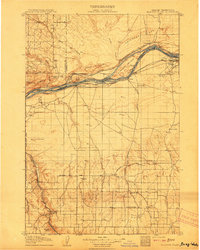
1908 · Blalock Island
USGS Topo · 1:125,000

1953 · Pendleton
USGS Topo · 1:250,000

1956 · Pendleton
USGS Topo · 1:250,000
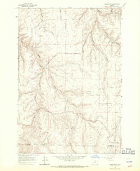
1968 · Gooseberry
USGS Topo · 1:24,000
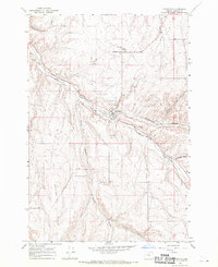
1968 · Lexington
USGS Topo · 1:24,000
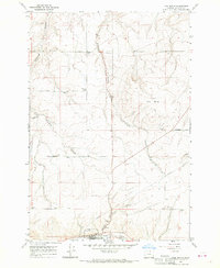
1968 · Ione North
USGS Topo · 1:24,000
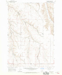
1968 · Eightmile
USGS Topo · 1:24,000
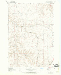
1968 · Utts Butte
USGS Topo · 1:24,000
1968 · Ruggs
USGS Topo · 1:24,000