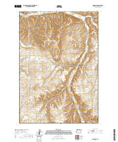
2020 Map of Ione South
USGS Topo · Published 2020About this map
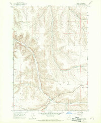
Ione sits at the northern edge of this landscape, where the waters of Willow Cr and Rhea Cr converge. This area of Morrow County is defined by a deeply dissected plateau, where numerous named drainages such as McMillan Canyon, King Canyon, and Brenner Canyon carve through the high ground. The topography is anchored by the prominent Jordan Butte, a central landmark that rises above the surrounding network of canyons. The road network reflects a history of rural access and land management, with routes like Ione-Gooseberry Rd and Liberty School Rd cutting across the terrain. To the southeast, the steep descent of Rattlesnake Grade illustrates the challenging elevation changes characteristic of this region. This modern survey details the complex system of coulees and ridges that have shaped the agricultural and transport patterns of the high desert fringe.
Find a feature on this map
30 named features on this map. Tap any name to fly to it.
Don’t see what you’re looking for? This feature index may not catch every label — zoom into the map to look around manually.
Map Details
Editions of this 2020 Ione South Map
This is the sole edition of this map. No revisions or reprints were ever made.
Other maps of this area
1906 · Blalock Island
USGS Topo · 1:125,000
1908 · Blalock Island
USGS Topo · 1:125,000

1953 · Pendleton
USGS Topo · 1:250,000

1956 · Pendleton
USGS Topo · 1:250,000
1968 · Gooseberry
USGS Topo · 1:24,000
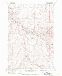
1968 · Lexington
USGS Topo · 1:24,000
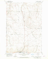
1968 · Ione North
USGS Topo · 1:24,000
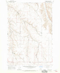
1968 · Eightmile
USGS Topo · 1:24,000
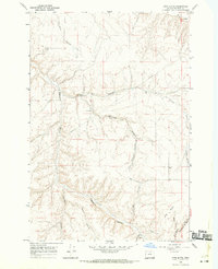
1968 · Utts Butte
USGS Topo · 1:24,000
1968 · Ruggs
USGS Topo · 1:24,000