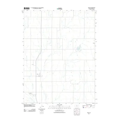
2012 Map of Ionia
USGS Topo · Published 2012About this map
Ionia forms the central hub of this agricultural landscape in Jewell County, situated among a network of prairie waterways. The settlement's history is anchored by the Ionia Cem nearby, while the eastern reaches of the map are defined by the Jewell County State Lake and the Mcgeehee Cem. The drainage patterns of north-central Kansas are clearly visible here, as Limestone Cr, Middle Limestone Cr, Elm Cr, and Ash Cr carve through the terrain. A mix of rural infrastructure and agricultural industry is evident in the presence of the Rose Pork Inc Airport and local routes like H RD and G RD, illustrating how modern transport and livestock operations have integrated into the traditional section-line grid of the plains.
Find a feature on this map
12 named features on this map. Tap any name to fly to it.
Don’t see what you’re looking for? This feature index may not catch every label — zoom into the map to look around manually.
Map Details
Editions of this 2012 Ionia Map
This is the sole edition of this map. No revisions or reprints were ever made.
Other maps of this area

1894 · Mankato
USGS Topo · 1:125,000

1955 · Beloit
USGS Topo · 1:250,000

1959 · Beloit
USGS Topo · 1:250,000

1962 · Cawker City
USGS Topo · 1:24,000

1962 · Glen Elder North
USGS Topo · 1:24,000

1962 · Jewell SW
USGS Topo · 1:24,000

1968 · Burr Oak
USGS Topo · 1:24,000
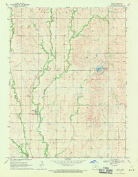
1969 · Ionia
USGS Topo · 1:24,000
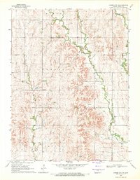
1969 · Cawker City NW
USGS Topo · 1:24,000

1969 · Mankato
USGS Topo · 1:24,000