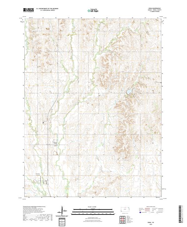
2022 Map of Ionia
USGS Topo · Published 2022About this map
Ionia serves as the central hub of this agricultural landscape in Jewell County, appearing as a compact grid of streets amidst a vast network of section roads. The terrain is defined by the dendritic drainage patterns of Limestone Cr and its tributaries, including Middle Limestone Cr and W Limestone Cr, which have carved deep contours into the Kansas prairie. These waterways dictate the placement of local infrastructure, where roads like 100 RD and 120 RD navigate the ridges and valleys.
Find a feature on this map
26 named features on this map. Tap any name to fly to it.
Don’t see what you’re looking for? This feature index may not catch every label — zoom into the map to look around manually.
Map Details
Editions of this 2022 Ionia Map
This is the sole edition of this map. No revisions or reprints were ever made.
Other maps of this area

1894 · Mankato
USGS Topo · 1:125,000

1955 · Beloit
USGS Topo · 1:250,000

1959 · Beloit
USGS Topo · 1:250,000

1962 · Cawker City
USGS Topo · 1:24,000

1962 · Glen Elder North
USGS Topo · 1:24,000

1962 · Jewell SW
USGS Topo · 1:24,000

1968 · Burr Oak
USGS Topo · 1:24,000
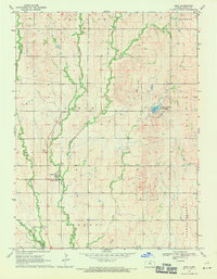
1969 · Ionia
USGS Topo · 1:24,000
1969 · Cawker City NW
USGS Topo · 1:24,000

1969 · Mankato
USGS Topo · 1:24,000