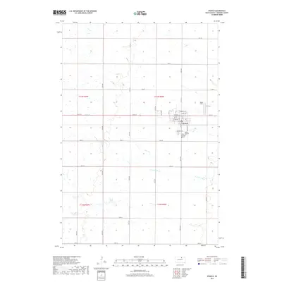
2017 Map of Ipswich
USGS Topo · Published 2017About this map
The town of Ipswich serves as the central hub of this prairie landscape, where a rigid grid of section roads like 358th Ave and 134th St meets the residential streets of the town site. Local history is anchored at the southern edge of the settlement by the Holy Cross Cem and Ipswich Southside Cem, which provide significant points for genealogical research. The surrounding terrain is defined by the winding course of N Fork Snake Cr, which meanders across the southern half of the map, and the presence of Blank Dam. Small aviation landmarks such as Rappe Field and TC Field sit just northeast of the town, reflecting the aviation needs of this rural region. The map illustrates a highly organized agricultural landscape, with the Public Land Survey System divisions of t123n r68w and t122n r68w clearly marking the transition from town to open country.
Find a feature on this map
44 named features on this map. Tap any name to fly to it.
Don’t see what you’re looking for? This feature index may not catch every label — zoom into the map to look around manually.
Map Details
Editions of this 2017 Ipswich Map
This is the sole edition of this map. No revisions or reprints were ever made.
Other maps of this area
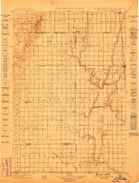
1899 · Ellendale
USGS Topo · 1:125,000
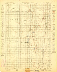
1899 · Northville
USGS Topo · 1:125,000
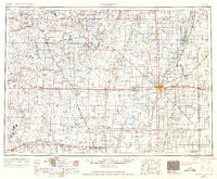
1954 · Aberdeen
USGS Topo · 1:250,000
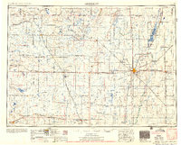
1956 · Aberdeen
USGS Topo · 1:250,000
1970 · Mina SW
USGS Topo · 1:24,000
1970 · Mina NW
USGS Topo · 1:24,000
1970 · Leola SW
USGS Topo · 1:24,000
1974 · Ipswich SE
USGS Topo · 1:24,000
1978 · Stafford Dam
USGS Topo · 1:24,000
1978 · Beebe
USGS Topo · 1:24,000