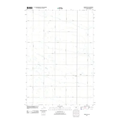
2012 Map of Ipswich SE
USGS Topo · Published 2012About this map
Powell sits as the central point of interest in this section of Edmunds County, illustrating the sparse, grid-dependent settlement patterns of the Great Plains in the early 21st century. The landscape is defined by a rigid network of section-line roads, including 357th Ave and 145th St, which partition the prairie into large agricultural tracts. The presence of the Pleasant Hill Cem near the intersection of the primary north-south thoroughfare and 145th St provides a vital point of reference for genealogists tracking family histories in this rural township. This survey captures the region's characteristic hydrography, showing numerous small, seasonal prairie potholes and wetlands scattered across the terrain between 364th Ave and 359th Ave.
Find a feature on this map
16 named features on this map. Tap any name to fly to it.
Don’t see what you’re looking for? This feature index may not catch every label — zoom into the map to look around manually.
Map Details
Editions of this 2012 Ipswich SE Map
This is the sole edition of this map. No revisions or reprints were ever made.
Other maps of this area

1899 · Northville
USGS Topo · 1:125,000

1952 · Norbeck
USGS Topo · 1:24,000

1952 · Wecota
USGS Topo · 1:24,000

1954 · Aberdeen
USGS Topo · 1:250,000

1956 · Aberdeen
USGS Topo · 1:250,000

1966 · Cresbard
USGS Topo · 1:24,000

1970 · Mina SW
USGS Topo · 1:24,000

1970 · Mina NW
USGS Topo · 1:24,000
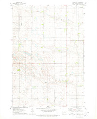
1974 · Ipswich SE
USGS Topo · 1:24,000
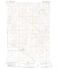
1978 · Stafford Dam
USGS Topo · 1:24,000