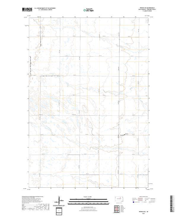
2021 Map of Ipswich SE
USGS Topo · Published 2021About this map
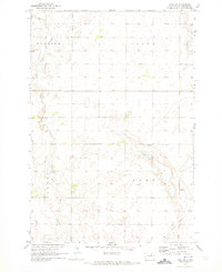
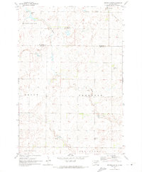
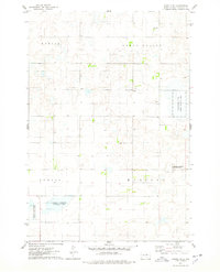
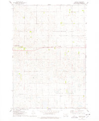
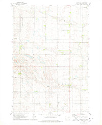
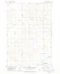
The prairie landscape of Edmunds County comes into focus through this modern survey of the area southeast of Ipswich. This region is defined by a rhythmic grid of agricultural section lines and township boundaries, including t121n r68w and t122n r68w. The tiny settlement of Powell serves as a local landmark in this sparsely populated section of the Great Plains, situated along 145th St. Just to the east of the settlement lies Pleasant Hill Cem, a significant site for genealogists and local historians tracing the families who settled this part of South Dakota. The terrain is characterized by numerous small, unnamed prairie potholes and wetlands that dot the fields, reflecting the glacial history of the Missouri Coteau. A network of gravel and section roads, such as Loyalton Rd and 358th Ave, provides the primary framework for the local rural economy.
Find a feature on this map
24 named features on this map. Tap any name to fly to it.
Don’t see what you’re looking for? This feature index may not catch every label — zoom into the map to look around manually.
Map Details
Editions of this 2021 Ipswich SE Map
This is the sole edition of this map. No revisions or reprints were ever made.
Historical Maps of Powell Through Time
36 maps found
1970 Leola SW
Edmunds County, SD
1970 Mina NW
Edmunds County, SD
1970 Mina SE
Edmunds County, SD
1970 Mina SW
Edmunds County, SD
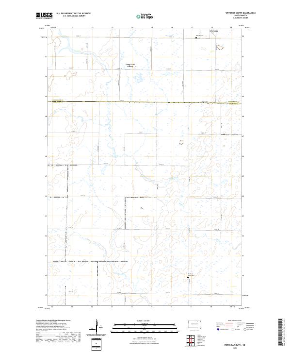
1970 Wetonka South
Edmunds County, SD
1974 Bowdle SE
Edmunds County, SD
1974 Gretna
Edmunds County, SD
1974 Ipswich SE
Edmunds County, SD
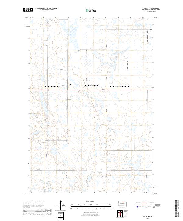
1974 Roscoe SW
Edmunds County, SD
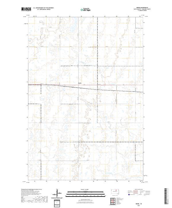
1978 Beebe
Edmunds County, SD
1978 Bowdle-Hosmer Lake
Edmunds County, SD
1978 Bowdle SW
Edmunds County, SD
1978 Hillsview SE
Edmunds County, SD
1978 Hosmer SE
Edmunds County, SD
1978 Loyalton
Edmunds County, SD
1978 Plainview Colony SW
Edmunds County, SD
1978 Roscoe NW
Edmunds County, SD
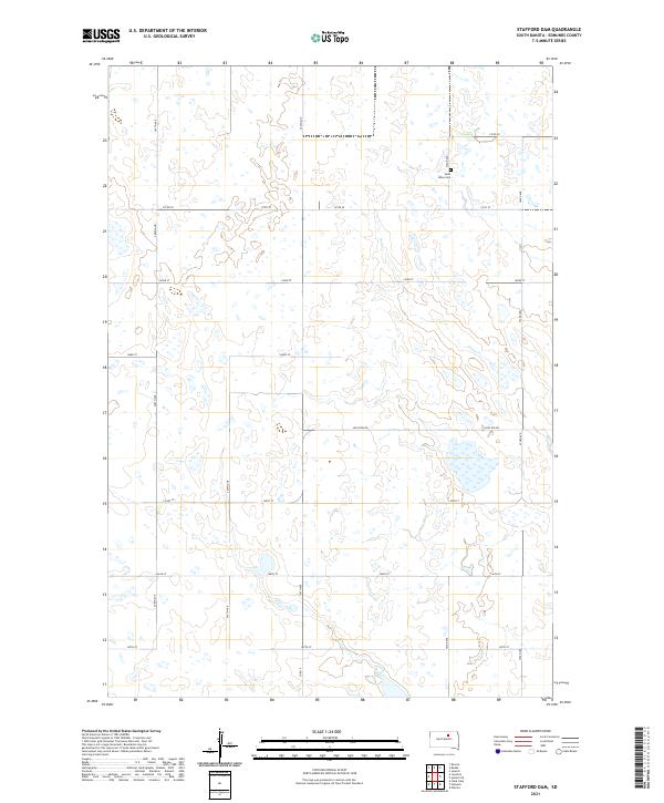
1978 Stafford Dam
Edmunds County, SD
2021 Beebe
Edmunds County, SD
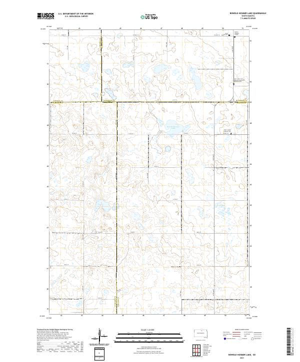
2021 Bowdle-Hosmer Lake
Edmunds County, SD
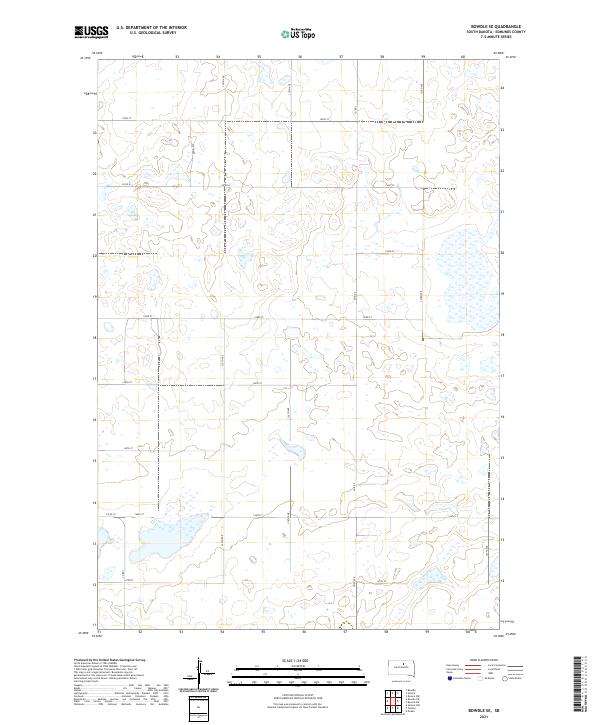
2021 Bowdle SE
Edmunds County, SD
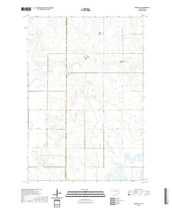
2021 Bowdle SW
Edmunds County, SD
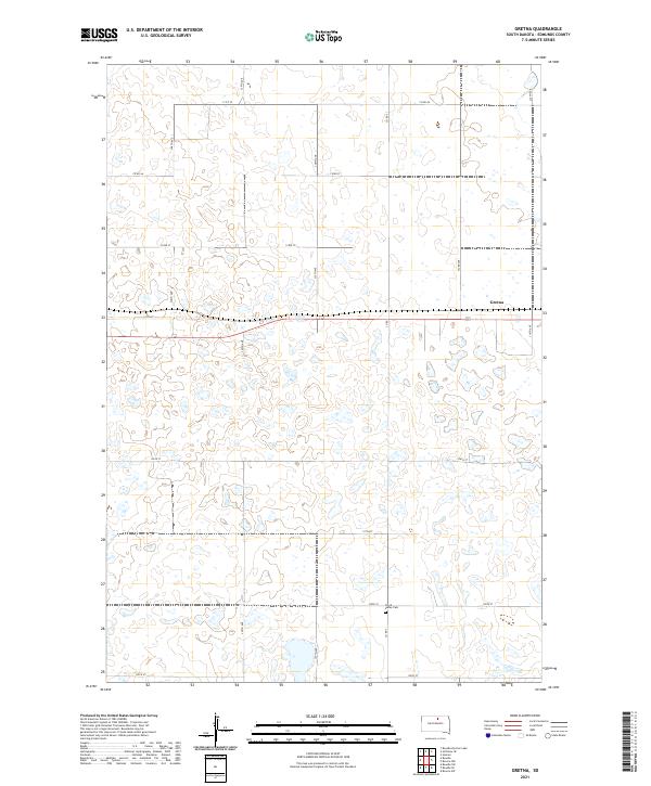
2021 Gretna
Edmunds County, SD
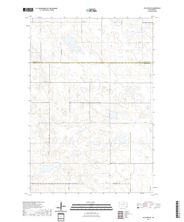
2021 Hillsview SE
Edmunds County, SD
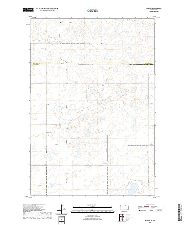
2021 Hosmer SE
Edmunds County, SD
2021 Ipswich SE
Edmunds County, SD
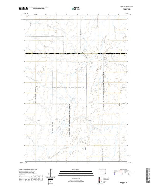
2021 Leola SW
Edmunds County, SD
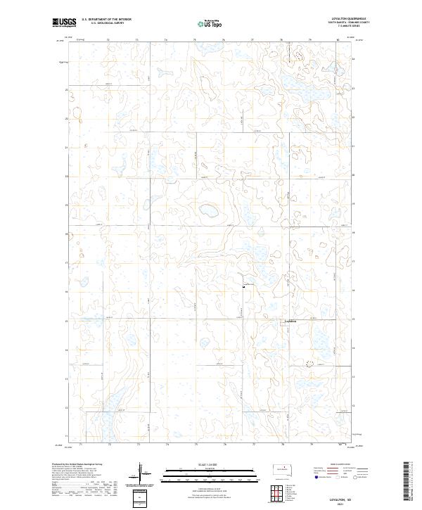
2021 Loyalton
Edmunds County, SD
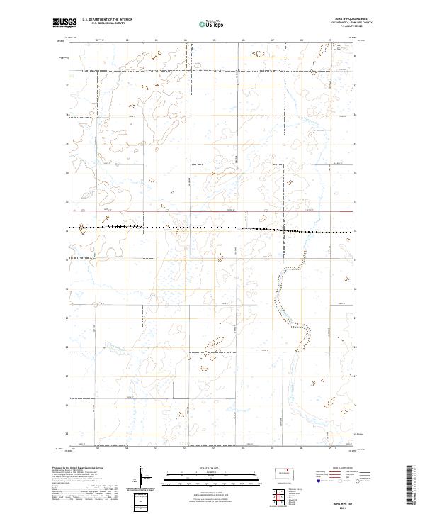
2021 Mina NW
Edmunds County, SD
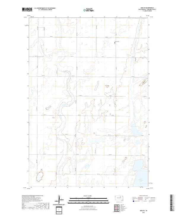
2021 Mina SE
Edmunds County, SD
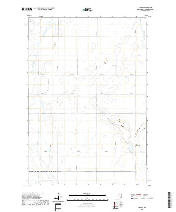
2021 Mina SW
Edmunds County, SD
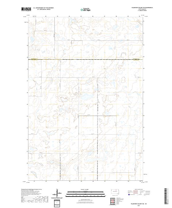
2021 Plainview Colony SW
Edmunds County, SD
2021 Roscoe NW
Edmunds County, SD
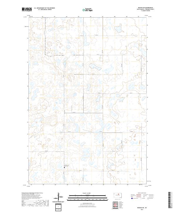
2021 Roscoe SW
Edmunds County, SD
2021 Stafford Dam
Edmunds County, SD
2021 Wetonka South
Edmunds County, SD