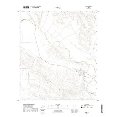
2019 Map of Iraan
USGS Topo · Published 2019About this map
The Iraan townsite occupies a strategic bend of the Pecos River at the boundary of Pecos and Crockett Counties. Established during the Permian Basin oil boom, the town's layout is recorded here with distinctive street names like Alley Oop Ln, a nod to the local connection with cartoonist V.T. Hamlin. The surrounding arid landscape is deeply incised by drainage systems, including Simpson Canyon, which feeds into the river from the northeast.
Find a feature on this map
23 named features on this map. Tap any name to fly to it.
Don’t see what you’re looking for? This feature index may not catch every label — zoom into the map to look around manually.
Map Details
Editions of this 2019 Iraan Map
This is the sole edition of this map. No revisions or reprints were ever made.
Other maps of this area
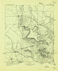
1928 · Crane
USGS Topo · 1:125,000
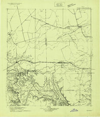
1928 · Rankin
USGS Topo · 1:125,000

1929 · Sheffield
USGS Topo · 1:125,000
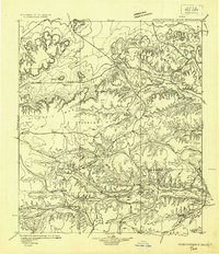
1929 · Independence Draw Quadrangle
USGS Topo · 1:125,000

1954 · Pecos
USGS Topo · 1:250,000

1954 · Fort Stockton
USGS Topo · 1:250,000

1954 · Sonora
USGS Topo · 1:250,000

1954 · San Angelo
USGS Topo · 1:250,000

1957 · Pecos
USGS Topo · 1:250,000

1958 · Sonora
USGS Topo · 1:250,000