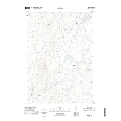
2018 Map of Irasburg
USGS Topo · Published 2018About this map
Irasburg and Orleans anchor this Orleans County landscape where the Black River carves a central corridor through Vermont's northern highlands. The drainage patterns of Lords Cr and Brighton Brook suggest a topography defined by the Lowell Mountains to the west and a series of prominent rises including Chamberlain Hill, Round Hill, and Allen Hill to the east. Several cemeteries, including the Saint John Vianny Cem and Hovey Cem, are scattered across the terrain, providing essential points of reference for genealogical research in this rural district.
Find a feature on this map
77 named features on this map. Tap any name to fly to it.
Don’t see what you’re looking for? This feature index may not catch every label — zoom into the map to look around manually.
Map Details
Editions of this 2018 Irasburg Map
This is the sole edition of this map. No revisions or reprints were ever made.
Other maps of this area

1919 · Lake Memphremagog
USGS Topo · 1:62,500

1920 · Derby
USGS Topo · 1:62,500

1920 · Irasburg
USGS Topo · 1:62,500

1923 · Irasburg
USGS Topo · 1:48,000

1923 · Lake Memphremagog
USGS Topo · 1:48,000

1925 · Irasburg
USGS Topo · 1:62,500

1925 · Memphremagog
USGS Topo · 1:62,500

1928 · Hardwick
USGS Topo · 1:62,500

1934 · Hardwick
USGS Topo · 1:48,000

1935 · Lyndonville
USGS Topo · 1:48,000