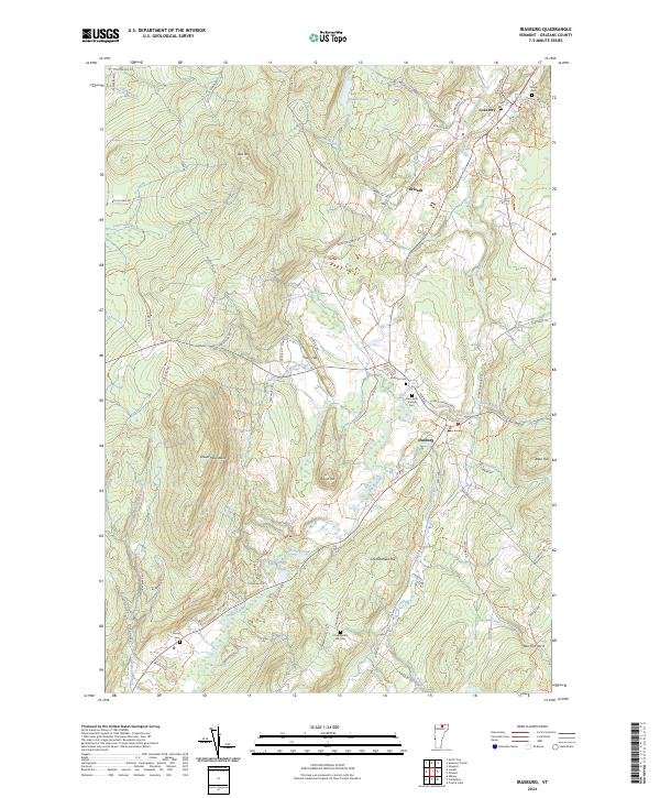
2024 Map of Irasburg
USGS Topo · Published 2024About this map
The Black River carves a central valley through this section of Orleans County, anchoring the settlements of Irasburg, Orleans, and Coventry. The landscape is defined by the high ridges of the Lowell Mountains to the west and a series of prominent rises including Chamberlain Hill, Stony Hill, and Burton Hill. This terrain dictated the early road network, where routes like Coventry Station Rd and Currier Hill Rd follow the natural contours of the land.
Find a feature on this map
75 named features on this map. Tap any name to fly to it.
Don’t see what you’re looking for? This feature index may not catch every label — zoom into the map to look around manually.
Map Details
Editions of this 2024 Irasburg Map
This is the sole edition of this map. No revisions or reprints were ever made.
Other maps of this area

1919 · Lake Memphremagog
USGS Topo · 1:62,500

1920 · Derby
USGS Topo · 1:62,500

1920 · Irasburg
USGS Topo · 1:62,500

1923 · Irasburg
USGS Topo · 1:48,000

1923 · Lake Memphremagog
USGS Topo · 1:48,000

1925 · Irasburg
USGS Topo · 1:62,500

1925 · Memphremagog
USGS Topo · 1:62,500

1928 · Hardwick
USGS Topo · 1:62,500

1934 · Hardwick
USGS Topo · 1:48,000

1935 · Lyndonville
USGS Topo · 1:48,000