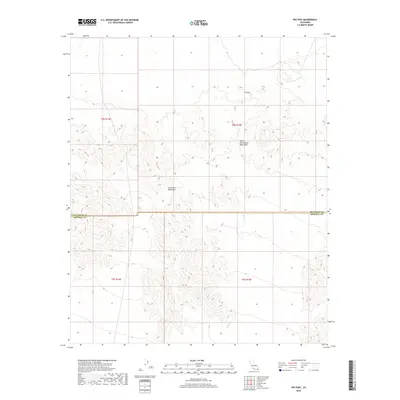
2018 Map of Iris Pass
USGS Topo · Published 2018About this map
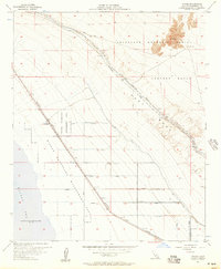
Iris Pass serves as a critical topographic saddle between the Little Chuckwalla Mountains to the northeast and the Chocolate Mountains to the southwest. This arid desert landscape is defined by the ephemeral drainage of Iris Wash, which carries seasonal runoff across the high basin floors. The map highlights the intersection of the Riverside County and Imperial County boundary line as it cuts through the desolate terrain of the Colorado Desert. The survey illustrates a stark, undeveloped region where human activity is primarily represented by the established grid of the Public Land Survey System, specifically across Township 8 South, Range 14 East and neighboring sections.
Find a feature on this map
9 named features on this map. Tap any name to fly to it.
Don’t see what you’re looking for? This feature index may not catch every label — zoom into the map to look around manually.
Map Details
Editions of this 2018 Iris Pass Map
This is the sole edition of this map. No revisions or reprints were ever made.
Other maps of this area
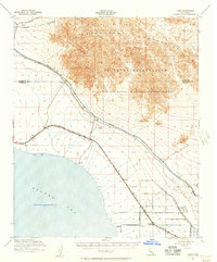
1940 · Frink
USGS Topo · 1:62,500
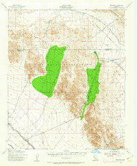
1940 · Iris Pass
USGS Topo · 1:62,500
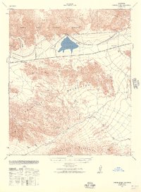
1940 · Canyon Spring
USGS Topo · 1:62,500
1943 · Canyon Spring
USGS Topo · 1:62,500
1944 · Chuckwalla Mountains
USGS Topo · 1:62,500
1944 · Frink
USGS Topo · 1:62,500
1945 · Iris Pass
USGS Topo · 1:62,500

1954 · Salton Sea
USGS Topo · 1:250,000

1955 · Salton Sea
USGS Topo · 1:250,000
1956 · Wister
USGS Topo · 1:24,000