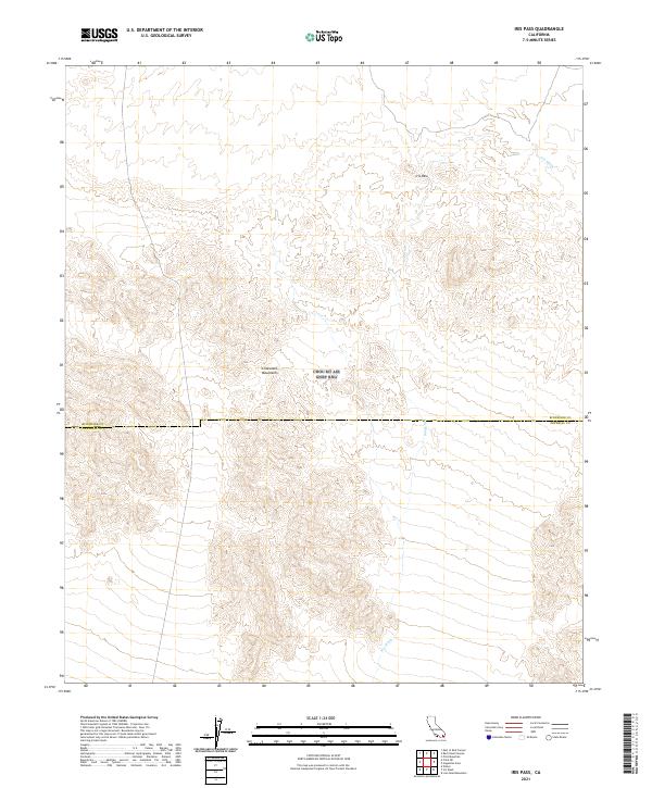
2021 Map of Iris Pass
USGS Topo · Published 2021About this map
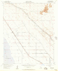
The Chocolate Mountains dominate this high-desert landscape in Southern California, where the rugged topography is defined by the namesake Iris Pass. This 2021 survey focuses on a remote section of the Colorado Desert where natural drainage patterns are dictated by the long, winding course of Iris Wash. The map documents a sparsely developed area where the physical geography remains the primary feature, underscored by the jurisdictional boundary separating Riverside and Imperial counties. Significant elevation changes are captured through the network of canyons and ridges that characteristically define this portion of the mountain range, providing a precise look at the arid terrain as it existed in the early twenty-first century.
Find a feature on this map
8 named features on this map. Tap any name to fly to it.
Don’t see what you’re looking for? This feature index may not catch every label — zoom into the map to look around manually.
Map Details
Editions of this 2021 Iris Pass Map
This is the sole edition of this map. No revisions or reprints were ever made.
Other maps of this area
1940 · Frink
USGS Topo · 1:62,500
1940 · Iris Pass
USGS Topo · 1:62,500
1940 · Canyon Spring
USGS Topo · 1:62,500
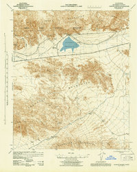
1943 · Canyon Spring
USGS Topo · 1:62,500
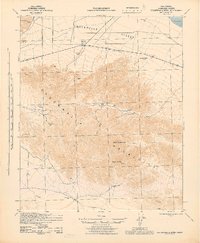
1944 · Chuckwalla Mountains
USGS Topo · 1:62,500
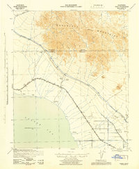
1944 · Frink
USGS Topo · 1:62,500
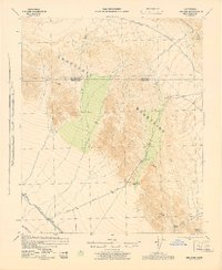
1945 · Iris Pass
USGS Topo · 1:62,500

1954 · Salton Sea
USGS Topo · 1:250,000

1955 · Salton Sea
USGS Topo · 1:250,000
1956 · Wister
USGS Topo · 1:24,000