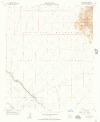
1956 Map of Iris Wash
USGS Topo · Published 1957About this map
The Chocolate Mountain Aerial Gunnery Range dominates this mid-century landscape in Imperial County, reflecting the transition of the California desert into a critical military training ground. This 1956 survey captures the Camp Dunlap Naval Reservation and the specific Camp Dunlap (Site), an area that would later become known as Slab City. The infrastructure of desert agriculture and water management is clearly marked along the western edge, where the Coachella Canal and East High Line Canal parallel the foot of the East Mesa.
Find a feature on this map
20 named features on this map. Tap any name to fly to it.
Don’t see what you’re looking for? This feature index may not catch every label — zoom into the map to look around manually.
Map Details
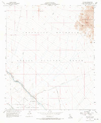
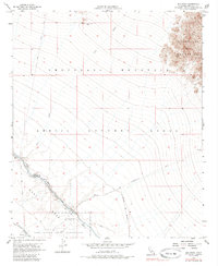
Editions of this 1956 Iris Wash Map
Other maps of this area

1940 · Iris
USGS Topo · 1:62,500

1940 · Frink
USGS Topo · 1:62,500

1940 · Iris Pass
USGS Topo · 1:62,500

1944 · Calipatria
USGS Topo · 1:62,500

1944 · Frink
USGS Topo · 1:62,500

1945 · Iris Pass
USGS Topo · 1:62,500

1945 · Iris
USGS Topo · 1:62,500

1954 · Salton Sea
USGS Topo · 1:250,000

1955 · Tortuga
USGS Topo · 1:24,000

1955 · Salton Sea
USGS Topo · 1:250,000