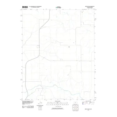
2010 Map of Irish Flats
USGS Topo · Published 2010About this map
Cimarron River meanders across the southern portion of this landscape, defining the hydrology of a region where water and land have a distinctive relationship. The area is characterized by open plains and named terrain features such as Skunkie Arroyo, which provides a natural drainage pattern toward the river. Centered on the upland plateau is Irish Flats, a label indicating a specific topographical or historical locality within this sparsely developed part of Beaver County. In the north, Shorts Creek cuts through the terrain, further illustrating the drainage systems that have shaped the land use and accessibility of the Oklahoma panhandle. This survey records a snapshot of the high plains before further modern modifications, documenting the essential watercourses and local names that defined the territory at the start of the decade.
Find a feature on this map
3 named features on this map. Tap any name to fly to it.
Don’t see what you’re looking for? This feature index may not catch every label — zoom into the map to look around manually.
Map Details
Editions of this 2010 Irish Flats Map
This is the sole edition of this map. No revisions or reprints were ever made.
Other maps of this area

1892 · Meade
USGS Topo · 1:125,000

1954 · Perryton
USGS Topo · 1:250,000

1955 · Dodge City
USGS Topo · 1:250,000

1958 · Perryton
USGS Topo · 1:250,000

1958 · Dodge City
USGS Topo · 1:250,000

1959 · Dodge City
USGS Topo · 1:250,000

1962 · Irish Flats NE
USGS Topo · 1:24,000

1962 · Irish Flats SE
USGS Topo · 1:24,000

1963 · Kismet SE
USGS Topo · 1:24,000

1963 · Kismet NE
USGS Topo · 1:24,000