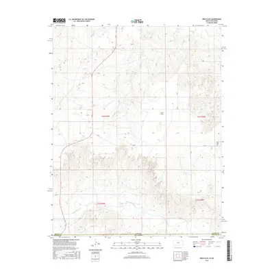
2016 Map of Irish Flats
USGS Topo · Published 2016About this map
The Kansas-Oklahoma state line divides this high plains landscape, where the rugged drainages of the Cimarron River cut through the southern portion of the sheet. This terrain is characterized by broad upland expanses like Irish Flats and the intricate systems of seasonal waterways including Skunkie Arroyo, Shorts Cr, and Crooked Cr. The intersection of Meade and Beaver counties is marked by a grid of rural section roads such as 11 Rd, DD Rd, and GG Rd, which facilitate movement through this sparsely populated agricultural and ranching region. A notable cultural landmark on the eastern edge of the survey is the Elsie Chapel Cem, serving as a focal point for local genealogical interest and historical continuity in a landscape shaped by vast distances and water-carved geography.
Find a feature on this map
20 named features on this map. Tap any name to fly to it.
Don’t see what you’re looking for? This feature index may not catch every label — zoom into the map to look around manually.
Map Details
Editions of this 2016 Irish Flats Map
This is the sole edition of this map. No revisions or reprints were ever made.
Other maps of this area
1892 · Meade
USGS Topo · 1:125,000
1954 · Perryton
USGS Topo · 1:250,000

1955 · Dodge City
USGS Topo · 1:250,000
1958 · Perryton
USGS Topo · 1:250,000

1958 · Dodge City
USGS Topo · 1:250,000

1959 · Dodge City
USGS Topo · 1:250,000
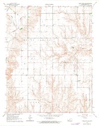
1962 · Irish Flats NE
USGS Topo · 1:24,000
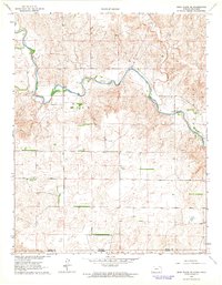
1962 · Irish Flats SE
USGS Topo · 1:24,000
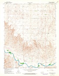
1963 · Kismet SE
USGS Topo · 1:24,000
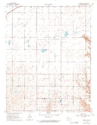
1963 · Kismet NE
USGS Topo · 1:24,000