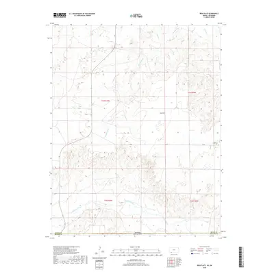
2018 Map of Irish Flats
USGS Topo · Published 2018About this map
Irish Flats occupies a high plateau along the state line where the plains of Kansas meet the Oklahoma Panhandle. This landscape is defined by the incision of watercourses through the level terrain, with Skunkie Arroyo and Shorts Cr carving drainage paths northward toward Crooked Cr. To the south, the terrain drops away into the valley of the Cimarron River, which flows through the southern section of the quadrangle. Settlement in this arid region is sparse and oriented around a rectilinear grid of section roads such as 15 RD and DD RD. For local history and genealogy, the presence of the Elsie Chapel Cem near the eastern boundary provides a specific point of reference for the community that established itself on these high flats.
Find a feature on this map
19 named features on this map. Tap any name to fly to it.
Don’t see what you’re looking for? This feature index may not catch every label — zoom into the map to look around manually.
Map Details
Editions of this 2018 Irish Flats Map
This is the sole edition of this map. No revisions or reprints were ever made.
Other maps of this area
1892 · Meade
USGS Topo · 1:125,000
1954 · Perryton
USGS Topo · 1:250,000

1955 · Dodge City
USGS Topo · 1:250,000
1958 · Perryton
USGS Topo · 1:250,000

1958 · Dodge City
USGS Topo · 1:250,000

1959 · Dodge City
USGS Topo · 1:250,000
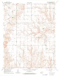
1962 · Irish Flats NE
USGS Topo · 1:24,000
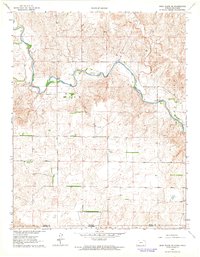
1962 · Irish Flats SE
USGS Topo · 1:24,000
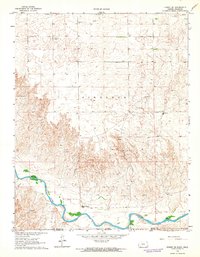
1963 · Kismet SE
USGS Topo · 1:24,000
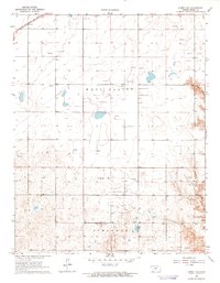
1963 · Kismet NE
USGS Topo · 1:24,000