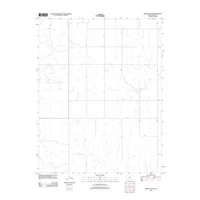
2012 Map of Irish Flats NE
USGS Topo · Published 2012About this map
Crooked Cr and its tributaries define the drainage patterns of this Meade County landscape, where the High Plains transition into the broken terrain of the Cimarron River watershed. The geography is marked by a rigorous section-line road grid, from 17 RD to 23 RD, which dictates the movement of people and commerce across this agricultural expanse. The intricate branching of Sand Cr and Remuda Cr across the eastern half of the map illustrates the natural erosion patterns that have shaped the local topography over millennia. While the area remains predominantly rural and open, the precise alignment of roads like V RD and X RD reflects the enduring legacy of the Public Land Survey System in organizing the Kansas frontier.
Find a feature on this map
19 named features on this map. Tap any name to fly to it.
Don’t see what you’re looking for? This feature index may not catch every label — zoom into the map to look around manually.
Map Details
Editions of this 2012 Irish Flats NE Map
This is the sole edition of this map. No revisions or reprints were ever made.
Other maps of this area
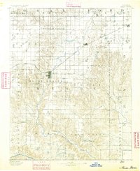
1892 · Meade
USGS Topo · 1:125,000

1955 · Dodge City
USGS Topo · 1:250,000

1958 · Dodge City
USGS Topo · 1:250,000

1959 · Dodge City
USGS Topo · 1:250,000
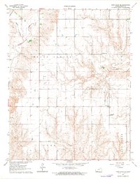
1962 · Irish Flats NE
USGS Topo · 1:24,000
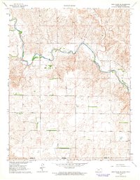
1962 · Irish Flats SE
USGS Topo · 1:24,000
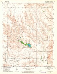
1963 · Lake Larrabee
USGS Topo · 1:24,000
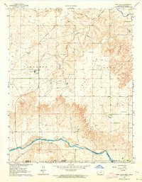
1963 · Irish Flats
USGS Topo · 1:24,000
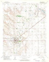
1963 · Meade
USGS Topo · 1:24,000
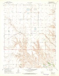
1963 · Missler
USGS Topo · 1:24,000