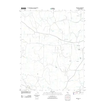
2012 Map of Irish Hill
USGS Topo · Published 2012About this map
Irish Hill and Indian Hill anchor the southern landscape of this Amador County region, where a network of seasonal creeks and gulches define the terrain. The presence of Spanish Spring and the Spanish Gulch suggests the deep mining and prospecting roots of the area, while the modern landscape incorporates agricultural and leisure interests such as the Argonaut Winery and the Horse Shoe A Ranch Airport. Water management is prominent throughout the quadrangle, evidenced by the Arroyo Seco Ditch and several named catchments like Goffinet Reservoir and Henderson Reservoir. This 2012 survey illustrates the transition from traditional ranching and mining to contemporary rural development, centered around small settlements like Four Corners and the area near Edwin. Prominent landmarks like Bisbee Peak and Sugarloaf Peak provide clear navigational markers for the surrounding valleys.
Find a feature on this map
56 named features on this map. Tap any name to fly to it.
Don’t see what you’re looking for? This feature index may not catch every label — zoom into the map to look around manually.
Map Details
Editions of this 2012 Irish Hill Map
This is the sole edition of this map. No revisions or reprints were ever made.
Other maps of this area

1889 · Jackson
USGS Topo · 1:125,000

1891 · Sacramento
USGS Topo · 1:125,000

1891 · Placerville
USGS Topo · 1:125,000

1892 · Jackson
USGS Topo · 1:125,000

1892 · Sacramento
USGS Topo · 1:125,000

1892 · Placerville
USGS Topo · 1:125,000

1893 · Placerville
USGS Topo · 1:125,000

1893 · Sacramento
USGS Topo · 1:125,000

1894 · Lodi
USGS Topo · 1:125,000

1897 · Jackson
USGS Topo · 1:125,000