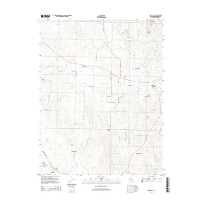
2015 Map of Irish Hill
USGS Topo · Published 2015About this map
Irish Hill and Indian Hill anchor the southern landscape of this Amador County region, where the eastern edge of the Sacramento Valley meets the lower foothills. The map reveals a transition from the agricultural plains of Central Valley to a more complex drainage network including Mule Cr and Dry Cr. This 2015 survey details a working landscape defined by ranching infrastructure and water management, evidenced by the Horse Shoe A Ranch Airport and the historical engineering of the Arroyo Seco Ditch. Named landmarks like New York Gulch and Spanish Gulch reflect the area's gold-rush era heritage, even as modern roads like Latrobe Rd and Old Sacramento Rd trace the paths of older thoroughfares. Smaller reservoirs such as Henderson Reservoir and Goffinet Reservoir serve the localized needs of the foothill ranches.
Find a feature on this map
65 named features on this map. Tap any name to fly to it.
Don’t see what you’re looking for? This feature index may not catch every label — zoom into the map to look around manually.
Map Details
Editions of this 2015 Irish Hill Map
This is the sole edition of this map. No revisions or reprints were ever made.
Other maps of this area
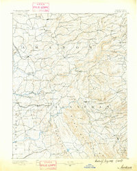
1889 · Jackson
USGS Topo · 1:125,000
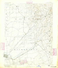
1891 · Sacramento
USGS Topo · 1:125,000
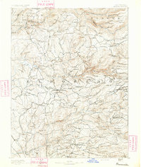
1891 · Placerville
USGS Topo · 1:125,000
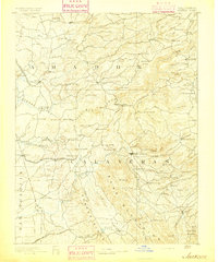
1892 · Jackson
USGS Topo · 1:125,000
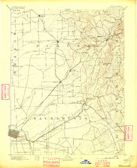
1892 · Sacramento
USGS Topo · 1:125,000
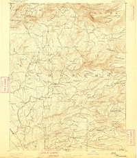
1892 · Placerville
USGS Topo · 1:125,000
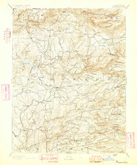
1893 · Placerville
USGS Topo · 1:125,000
1893 · Sacramento
USGS Topo · 1:125,000
1894 · Lodi
USGS Topo · 1:125,000
1897 · Jackson
USGS Topo · 1:125,000