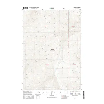
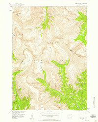
2015 Map of Irish Rock
USGS Topo · Published 2015About this map
The Absaroka Range dominates this portion of the Shoshone National Forest, where the landscape is defined by the high-elevation drainage systems feeding the Greybull River. This 2015 survey details a complex network of seasonal and perennial waterways, including Warhouse Cr, Eleanor Cr, and Stuart Cr, which carve through the terrain between prominent peaks. A distinctive landmark, Irish Rock, stands near the eastern boundary, serving as a significant navigational point within this wilderness area.
Find a feature on this map
2 named features on this map. Tap any name to fly to it.
Don’t see what you’re looking for? This feature index may not catch every label — zoom into the map to look around manually.
Map Details
Editions of this 2015 Irish Rock Map
This is the sole edition of this map. No revisions or reprints were ever made.
Other maps of this area
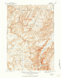
1893 · Ishawooa
USGS Topo · 1:125,000
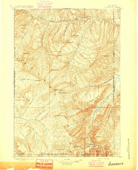
1895 · Ishawooa
USGS Topo · 1:125,000
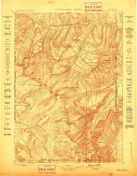
1899 · Ishawooa
USGS Topo · 1:125,000
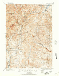
1904 · Kirwin
USGS Topo · 1:125,000
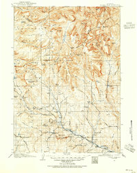
1905 · Younts Peak
USGS Topo · 1:125,000
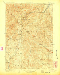
1906 · Kirwin
USGS Topo · 1:125,000
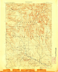
1907 · Younts Peak
USGS Topo · 1:125,000

1955 · Cody
USGS Topo · 1:250,000

1955 · Thermopolis
USGS Topo · 1:250,000
1956 · Emerald Lake
USGS Topo · 1:24,000