
1956 Map of Emerald Lake
USGS Topo · Published 1958About this map
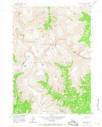
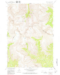
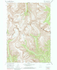
Shoshone National Forest dominates this high-altitude landscape along the border of Park and Fremont counties. The 1956 survey reveals a wilderness defined by water and ridgeline, where the Pack Trail serves as the primary artery through the steep drainages of Frontier Creek and Emerald Creek. The mapping effort, completed as part of a Department of the Interior program for the Missouri River Basin, provides a precise record of alpine features including Emerald Lake and the smaller Green Lake perched at high elevations.
Find a feature on this map
18 named features on this map. Tap any name to fly to it.
Don’t see what you’re looking for? This feature index may not catch every label — zoom into the map to look around manually.
Map Details
Editions of this 1956 Emerald Lake Map
4 editions found
Other maps of this area

1893 · Ishawooa
USGS Topo · 1:125,000

1895 · Ishawooa
USGS Topo · 1:125,000

1899 · Ishawooa
USGS Topo · 1:125,000

1904 · Kirwin
USGS Topo · 1:125,000

1905 · Younts Peak
USGS Topo · 1:125,000

1906 · Kirwin
USGS Topo · 1:125,000

1907 · Younts Peak
USGS Topo · 1:125,000

1955 · Cody
USGS Topo · 1:250,000

1955 · Thermopolis
USGS Topo · 1:250,000

1956 · Snow Lake
USGS Topo · 1:24,000