
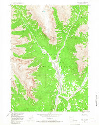
1956 Map of Snow Lake
USGS Topo · Published 1958About this map
Shoshone National Forest defines this high-altitude landscape in the mid-1950s, where geological features and pack trails mark the terrain. The drainage of Wiggins Fork serves as a central artery, collecting water from Frontier Creek, Caldwell Creek, and Fire Creek. High points such as Coffman Butte, Norton Point, and Crescent Top dictate the difficult movement through the area, which was mapped as part of the Department of the Interior's Missouri River Basin development program.
Find a feature on this map
21 named features on this map. Tap any name to fly to it.
Don’t see what you’re looking for? This feature index may not catch every label — zoom into the map to look around manually.
Map Details
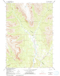
Editions of this 1956 Snow Lake Map
3 editions found
Other maps of this area

1904 · Kirwin
USGS Topo · 1:125,000

1905 · Younts Peak
USGS Topo · 1:125,000

1906 · Kirwin
USGS Topo · 1:125,000

1907 · Younts Peak
USGS Topo · 1:125,000

1955 · Thermopolis
USGS Topo · 1:250,000

1956 · Indian Point
USGS Topo · 1:24,000

1956 · Ramshorn Peak
USGS Topo · 1:24,000

1956 · Five Pockets
USGS Topo · 1:24,000

1956 · Emerald Lake
USGS Topo · 1:24,000

1958 · Thermopolis
USGS Topo · 1:250,000