
1956 Map of Five Pockets
USGS Topo · Published 1958About this map
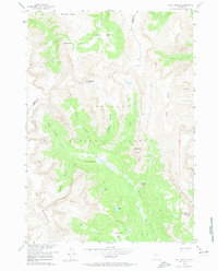
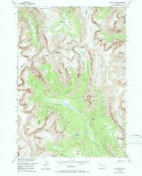
Shoshone National Forest contains the high alpine reaches of the Five Pockets region, a series of distinct mountain basins including West Pocket, Hidden Pocket, and South Pocket. This 1950s survey, conducted for the development of the Missouri River Basin, reveals a landscape defined by dramatic elevation changes between The Ramshorn and the Shoshone Plateau. High-altitude water features like Eloise Lake, Duncan Lake, and Pocket Lake dot the terrain, while Twilight Falls marks a sharp descent along Horse Creek.
Find a feature on this map
31 named features on this map. Tap any name to fly to it.
Don’t see what you’re looking for? This feature index may not catch every label — zoom into the map to look around manually.
Map Details
Editions of this 1956 Five Pockets Map
3 editions found
Other maps of this area

1905 · Younts Peak
USGS Topo · 1:125,000

1907 · Younts Peak
USGS Topo · 1:125,000

1955 · Thermopolis
USGS Topo · 1:250,000

1956 · Indian Point
USGS Topo · 1:24,000

1956 · Esmond Park
USGS Topo · 1:24,000

1956 · Shoshone Pass
USGS Topo · 1:24,000

1956 · Ramshorn Peak
USGS Topo · 1:24,000

1956 · Snow Lake
USGS Topo · 1:24,000

1956 · Emerald Lake
USGS Topo · 1:24,000

1958 · Thermopolis
USGS Topo · 1:250,000