
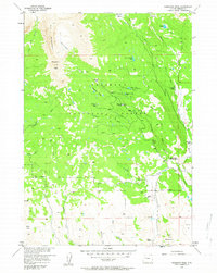
1956 Map of Ramshorn Peak
USGS Topo · Published 1958About this map
Ramshorn Peak and the high ridges of The Ramshorn dominate this mid-century look at a remote section of the Shoshone National Forest. This high-altitude landscape is defined by its working ranch life and forest management, where Horse Creek and Burroughs Creek carve paths through the timber. The presence of the Horse Creek Ranger Station and various private holdings like the T Cross Ranch and Utzinger Ranch illustrates the historic coexistence of federal land management and private western homesteading.
Find a feature on this map
33 named features on this map. Tap any name to fly to it.
Don’t see what you’re looking for? This feature index may not catch every label — zoom into the map to look around manually.
Map Details
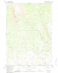
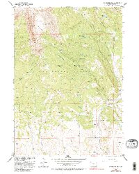
Editions of this 1956 Ramshorn Peak Map
4 editions found
Other maps of this area

1905 · Younts Peak
USGS Topo · 1:125,000

1907 · Younts Peak
USGS Topo · 1:125,000

1955 · Thermopolis
USGS Topo · 1:250,000

1956 · Indian Point
USGS Topo · 1:24,000

1956 · Dubois
USGS Topo · 1:24,000

1956 · Esmond Park
USGS Topo · 1:24,000

1956 · Shoshone Pass
USGS Topo · 1:24,000

1956 · Snow Lake
USGS Topo · 1:24,000

1956 · Warm Spring Mountain
USGS Topo · 1:24,000

1956 · Five Pockets
USGS Topo · 1:24,000