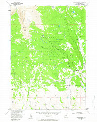
1956 Map of Ramshorn Peak
USGS Topo · Published 1963About this map
The Ramshorn dominates the western skyline of this mid-century survey, a distinctive geological formation that gives rise to Ramshorn Peak and the high Ramshorn Basin. This portion of the Shoshone National Forest reflects a landscape managed for multiple uses, from the historic Fisher Tie Camp near Rainbow Lake to active livestock operations at T Cross Ranch and Utzinger Ranch. The mapping of these rangelands and timber areas was conducted as part of the Department of the Interior program for the development of the Missouri River Basin.
Find a feature on this map
34 named features on this map. Tap any name to fly to it.
Don’t see what you’re looking for? This feature index may not catch every label — zoom into the map to look around manually.
Map Details
Editions of this 1956 Ramshorn Peak Map
4 editions found
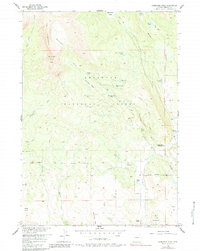
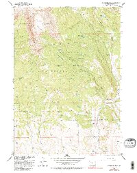
Other maps of this area

1905 · Younts Peak
USGS Topo · 1:125,000

1907 · Younts Peak
USGS Topo · 1:125,000

1955 · Thermopolis
USGS Topo · 1:250,000

1956 · Indian Point
USGS Topo · 1:24,000

1956 · Dubois
USGS Topo · 1:24,000

1956 · Esmond Park
USGS Topo · 1:24,000

1956 · Shoshone Pass
USGS Topo · 1:24,000

1956 · Ramshorn Peak
USGS Topo · 1:24,000

1956 · Snow Lake
USGS Topo · 1:24,000

1956 · Warm Spring Mountain
USGS Topo · 1:24,000