
1956 Map of Warm Spring Mountain
USGS Topo · Published 1958About this map
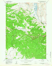
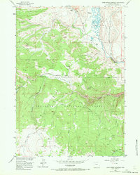
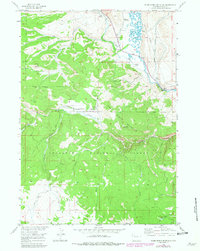
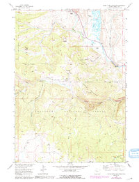
The high country of the Shoshone National Forest dominates this mid-century survey, centered on the prominent heights of Warm Spring Mountain. The landscape is a network of drainage systems, with Wind River carving through the northeastern corner and numerous tributaries like Du Noir Creek and Warm Spring Creek cutting through the topography. In the central portion of the map, the site of Du Noir is marked as abandoned, offering a glimpse into the changing settlement patterns of Fremont County as early industrial or ranching outposts were left behind.
Find a feature on this map
27 named features on this map. Tap any name to fly to it.
Don’t see what you’re looking for? This feature index may not catch every label — zoom into the map to look around manually.
Map Details
Editions of this 1956 Warm Spring Mountain Map
5 editions found
Other maps of this area

1905 · Younts Peak
USGS Topo · 1:125,000

1907 · Younts Peak
USGS Topo · 1:125,000

1909 · Fremont Peak
USGS Topo · 1:125,000

1955 · Thermopolis
USGS Topo · 1:250,000

1956 · Dubois
USGS Topo · 1:24,000

1956 · Esmond Park
USGS Topo · 1:24,000

1956 · Ramshorn Peak
USGS Topo · 1:24,000

1956 · Fish Lake
USGS Topo · 1:24,000

1956 · Kisinger Lakes
USGS Topo · 1:24,000

1958 · Thermopolis
USGS Topo · 1:250,000