
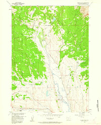
1956 Map of Esmond Park
USGS Topo · Published 1958About this map
Pickett Ranch and several other homesteads occupy the valley of Du Noir Creek during the mid-1950s, highlighting the ranching economy within the Shoshone National Forest. This high-altitude drainage system is defined by its numerous tributaries, including East Du Noir Creek and West Du Noir Creek, which feed southward toward the Wind River. The presence of Ramshorn Guest Ranch and Timberline Ranch suggests the area's dual role as both a working cattle landscape and a destination for early mountain recreation. Remote access is facilitated by the Du Noir Pack Trail and a series of rugged jeep trails cutting through Elk Ridge. A solitary Oil Well near the forest boundary indicates early industrial exploration in this otherwise wilderness setting, while features like Gap Lake and Trail Lake punctuate the high-elevation terrain.
Find a feature on this map
30 named features on this map. Tap any name to fly to it.
Don’t see what you’re looking for? This feature index may not catch every label — zoom into the map to look around manually.
Map Details
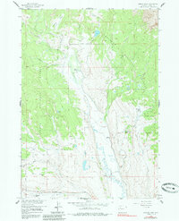
Editions of this 1956 Esmond Park Map
3 editions found
Other maps of this area

1905 · Younts Peak
USGS Topo · 1:125,000

1907 · Younts Peak
USGS Topo · 1:125,000

1955 · Thermopolis
USGS Topo · 1:250,000

1956 · Dubois
USGS Topo · 1:24,000

1956 · Shoshone Pass
USGS Topo · 1:24,000

1956 · Ramshorn Peak
USGS Topo · 1:24,000

1956 · Warm Spring Mountain
USGS Topo · 1:24,000

1956 · Five Pockets
USGS Topo · 1:24,000

1956 · Fish Lake
USGS Topo · 1:24,000

1956 · Kisinger Lakes
USGS Topo · 1:24,000