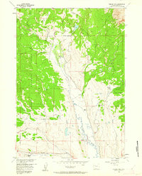
1956 Map of Esmond Park
USGS Topo · Published 1963About this map
Pickett Ranch and several other remote ranching outposts define the high-altitude landscape of this mid-century survey within the Shoshone National Forest. The map centers on the drainage basin where East Du Noir Creek and West Du Noir Creek converge, eventually feeding into the Wind River at the southern edge of the sheet. The settlement pattern is sparse, represented by named properties such as Ramshorn Guest Ranch and Highland Meadow Ranch, which highlight the region's historical ties to livestock and seasonal recreation.
Find a feature on this map
31 named features on this map. Tap any name to fly to it.
Don’t see what you’re looking for? This feature index may not catch every label — zoom into the map to look around manually.
Map Details
Editions of this 1956 Esmond Park Map
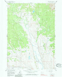
3 editions found
Other maps of this area

1905 · Younts Peak
USGS Topo · 1:125,000

1907 · Younts Peak
USGS Topo · 1:125,000

1955 · Thermopolis
USGS Topo · 1:250,000

1956 · Dubois
USGS Topo · 1:24,000

1956 · Esmond Park
USGS Topo · 1:24,000

1956 · Shoshone Pass
USGS Topo · 1:24,000

1956 · Ramshorn Peak
USGS Topo · 1:24,000

1956 · Warm Spring Mountain
USGS Topo · 1:24,000

1956 · Five Pockets
USGS Topo · 1:24,000

1956 · Fish Lake
USGS Topo · 1:24,000