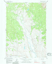
1956 Map of Esmond Park
USGS Topo · Published 1985About this map
The Shoshone National Forest landscape of the mid-1950s is defined by a series of working and guest ranches along the drainage basins of the upper Wind River. Remote outposts like Pickett Ranch and Glade Ranch are situated along the meandering course of Du Noir Creek, which splits into its distinct West and East forks. These ranches represent the area's transition into recreational and seasonal land use, evidenced by the Ramshorn Guest Ranch near Beach Creek. High-elevation features like Elk Ridge and Esmond Creek dominate the northern terrain, while a legacy of early utility infrastructure is preserved through the marking of a Telephone Line and various Jeep Trails that provided essential links through the wilderness before more modern road networks reached these mountain basins.
Find a feature on this map
25 named features on this map. Tap any name to fly to it.
Don’t see what you’re looking for? This feature index may not catch every label — zoom into the map to look around manually.
Map Details
Editions of this 1956 Esmond Park Map
3 editions found
Other maps of this area

1905 · Younts Peak
USGS Topo · 1:125,000

1907 · Younts Peak
USGS Topo · 1:125,000

1955 · Thermopolis
USGS Topo · 1:250,000

1956 · Dubois
USGS Topo · 1:24,000

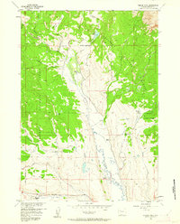
1956 · Esmond Park
USGS Topo · 1:24,000

1956 · Shoshone Pass
USGS Topo · 1:24,000

1956 · Ramshorn Peak
USGS Topo · 1:24,000

1956 · Warm Spring Mountain
USGS Topo · 1:24,000

1956 · Five Pockets
USGS Topo · 1:24,000

1956 · Fish Lake
USGS Topo · 1:24,000