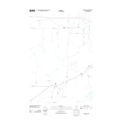
2013 Map of Iron Belt
USGS Topo · Published 2013About this map
Iron Belt and the neighboring settlements of Pence, Hoyt, and Kimball define the human geography of this Iron County landscape. Located south of the Lake Superior shoreline, the area is characterized by a dense network of watercourses including the Potato River, East River, and the West Fork Montreal River. These waterways, along with smaller tributaries like Boomer Cr and Alder Cr, weave through a terrain where modern transportation corridors like Wi-77 and Us-2 follow the historical paths of Old Hwy 10.
Find a feature on this map
43 named features on this map. Tap any name to fly to it.
Don’t see what you’re looking for? This feature index may not catch every label — zoom into the map to look around manually.
Map Details
Editions of this 2013 Iron Belt Map
This is the sole edition of this map. No revisions or reprints were ever made.
Other maps of this area

1940 · Upson
USGS Topo · 1:48,000

1943 · Little Girls Point
USGS Topo · 1:24,000

1943 · Upson
USGS Topo · 1:48,000

1943 · Ironwood
USGS Topo · 1:48,000

1943 · Little Girl Point
USGS Topo · 1:48,000

1953 · Ashland
USGS Topo · 1:250,000

1955 · Ironwood
USGS Topo · 1:24,000

1955 · Ironwood
USGS Topo · 1:62,500
1956 · Saxon
USGS Topo · 1:24,000

1956 · North Ironwood
USGS Topo · 1:62,500