Loading...
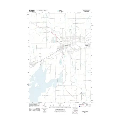
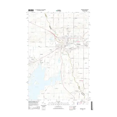
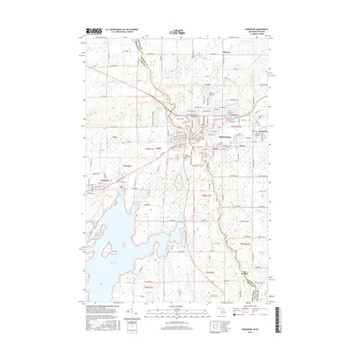
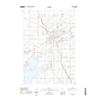
Loading map...1955 Map of Ironwood
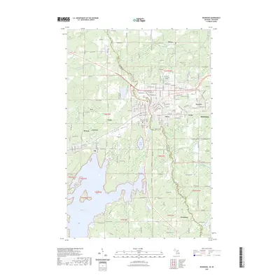
USGS Topo · Published 1961About this map
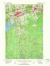
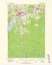
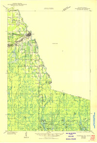
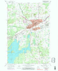
The Michigan-Wisconsin border provides the backdrop for this mid-century topographic view of the Gogebic Range iron district. Dense industrial clusters of the Chicago and North Western railway network connect the urban centers of Ironwood and Bessemer with the smaller mining communities of Jessieville, Norrie, and Ramsay. The landscape is dominated by heavy extractive industry, evidenced by the Newport Mine and Geneva Mine, while the southern reaches of the quadrangle transition into the wooded expanse of the Ottawa National Forest.
Find a feature on this map
66 named features on this map. Tap any name to fly to it.
Don’t see what you’re looking for? This feature index may not catch every label — zoom into the map to look around manually.
Map Details
Date Portrayed1955
Date Published1961
PublisherU.S. Geological Survey
Map TypeTopographic
Scale1:62,500
Physical Dimensions16.2 x 21.2 inches
Editions of this 1955 Ironwood Map
2 editions found
Historical Maps of Ironwood Through Time
9 maps found

Featured Locations
Source Details
SourceU.S. Geological Survey
CopyrightPublic Domain