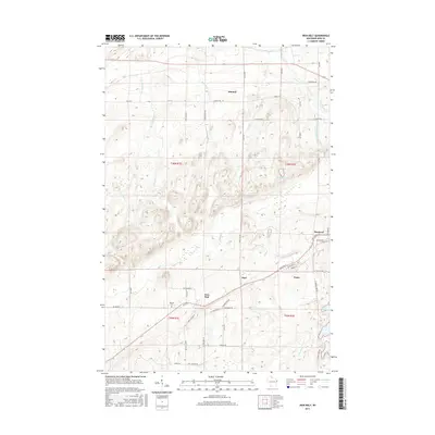
2015 Map of Iron Belt
USGS Topo · Published 2015About this map
Iron Belt and its neighboring communities of Pence and Montreal anchor this northern Wisconsin landscape, reflecting a settlement pattern deeply tied to the region's mineral wealth. The density of streets and named ways like Plummer Mine Rd and Mackinnon St highlights the historical concentration of labor around local mining operations. To the west, Hillside Cem sits near the town center, a site of genealogical interest for those tracing families from the Gogebic Range. The terrain is defined by a dense network of waterways including Alder Cr, the West Fork Montreal River, and the Potato River, which carve through the topography toward the Gile Flowage in the southeast. Smaller hamlets like Kimball and Hoyt further illustrate the sparse but deliberate distribution of 20th-century outposts across Iron County.
Find a feature on this map
60 named features on this map. Tap any name to fly to it.
Don’t see what you’re looking for? This feature index may not catch every label — zoom into the map to look around manually.
Map Details
Editions of this 2015 Iron Belt Map
This is the sole edition of this map. No revisions or reprints were ever made.
Other maps of this area

1940 · Upson
USGS Topo · 1:48,000

1943 · Little Girls Point
USGS Topo · 1:24,000

1943 · Upson
USGS Topo · 1:48,000

1943 · Ironwood
USGS Topo · 1:48,000

1943 · Little Girl Point
USGS Topo · 1:48,000

1953 · Ashland
USGS Topo · 1:250,000

1955 · Ironwood
USGS Topo · 1:24,000

1955 · Ironwood
USGS Topo · 1:62,500
1956 · Saxon
USGS Topo · 1:24,000

1956 · North Ironwood
USGS Topo · 1:62,500