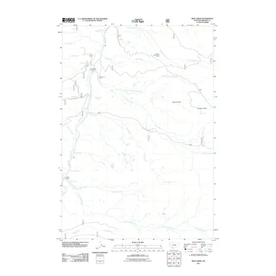
2011 Map of Iron Creek
USGS Topo · Published 2011About this map
Ruby River and its major tributaries, including the East Fork Ruby River, define the hydrology of this southwestern Montana landscape in the early 21st century. The terrain is characterized by the presence of the Vigilante Experimental Range and significant high-elevation landmarks like Maverick Basin and Strawberry Butte. Human activity is centered on seasonal and agricultural sites such as Cottonwood Camp and Three Forks Cow Camp, while a network of springs, including Bear Creek Spring, Elk Creek Spring, and Dog Creek Spring, suggests a landscape shaped by water availability for ranching or forestry. Transportation is facilitated by forest routes like Nat Forest Develop Road 950 Rd, providing access to the more remote stretches of Cottonwood Creek and Burnt Creek.
Find a feature on this map
30 named features on this map. Tap any name to fly to it.
Don’t see what you’re looking for? This feature index may not catch every label — zoom into the map to look around manually.
Map Details
Editions of this 2011 Iron Creek Map
This is the sole edition of this map. No revisions or reprints were ever made.
Other maps of this area
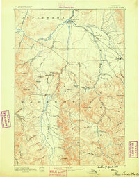
1888 · Three Forks
USGS Topo · 1:250,000
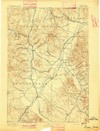
1893 · Dillon
USGS Topo · 1:250,000
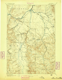
1894 · Three Forks
USGS Topo · 1:250,000
1895 · Three Forks
USGS Topo · 1:250,000

1947 · Bozeman
USGS Topo · 1:250,000

1948 · Bozeman
USGS Topo · 1:250,000
1949 · Varney
USGS Topo · 1:62,500
1950 · Monument Ridge
USGS Topo · 1:62,500
1955 · Bozeman
USGS Topo · 1:250,000

1955 · Dubois
USGS Topo · 1:250,000