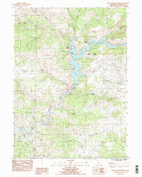
1984 Map of Iron Gate Reservoir
USGS Topo · Published 1988About this map
Iron Gate Reservoir dominates this Siskiyou County landscape, a central feature of the Klamath River watershed as it appeared in the mid-1980s. The reservoir is anchored by the Iron Gate Dam and the nearby Iron Gate Fish Hatchery, reflecting the region's managed aquatic ecosystem. Waterways like Jenny Creek and Bogus Creek feed into the reservoir, while terrain landmarks such as Coyote Peak and Sentinel Rocks define the surrounding ridges.
Find a feature on this map
34 named features on this map. Tap any name to fly to it.
Don’t see what you’re looking for? This feature index may not catch every label — zoom into the map to look around manually.
Map Details
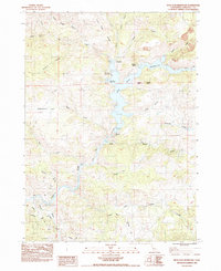
Editions of this 1984 Iron Gate Reservoir Map
2 editions found
Other maps of this area

1886 · Shasta
USGS Topo · 1:250,000

1891 · Ashland
USGS Topo · 1:250,000

1893 · Ashland
USGS Topo · 1:250,000

1894 · Shasta
USGS Topo · 1:250,000

1897 · Ashland
USGS Topo · 1:250,000

1922 · Shasta Valley Sheet No 13
USGS Topo · 1:24,000

1922 · Shasta Valley Sheet No 16
USGS Topo · 1:24,000

1922 · Shasta Valley Sheet No 15
USGS Topo · 1:24,000

1922 · Shasta Valley Sheet No 14
USGS Topo · 1:24,000

1932 · Yreka
USGS Topo · 1:96,000