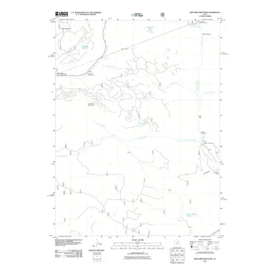
2011 Map of Iron Mine Mountain
USGS Topo · Published 2011About this map
Iron Mine Mountain stands as a central topographic feature in this section of Summit County, surrounded by a complex network of canyons and high-elevation water sources. The landscape is defined by its recreation and water management infrastructure, including the Duchesne Tunnel system with its West Portal and East Portal visible along the northern half of the sheet. These engineering features facilitate water movement across the divide between the Provo River and Duchesne River basins.
Find a feature on this map
31 named features on this map. Tap any name to fly to it.
Don’t see what you’re looking for? This feature index may not catch every label — zoom into the map to look around manually.
Map Details
Editions of this 2011 Iron Mine Mountain Map
This is the sole edition of this map. No revisions or reprints were ever made.
Other maps of this area

1885 · Salt Lake
USGS Topo · 1:250,000

1885 · Uinta
USGS Topo · 1:250,000

1900 · Coalville
USGS Topo · 1:125,000

1901 · Hayden Peak
USGS Topo · 1:125,000

1903 · Hayden Peak
USGS Topo · 1:125,000

1903 · Coalville
USGS Topo · 1:125,000

1907 · Strawberry Valley
USGS Topo · 1:125,000

1909 · Strawberry Valley
USGS Topo · 1:125,000

1954 · Salt Lake City
USGS Topo · 1:250,000

1958 · Salt Lake City
USGS Topo · 1:250,000