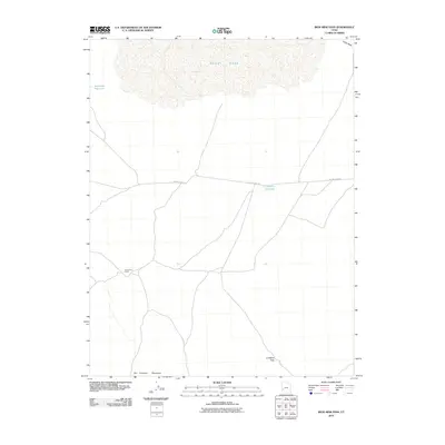
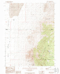
2010 Map of Iron Mine Pass
USGS Topo · Published 2010About this map
Sevier Lake dominates the northern reaches of this landscape in Millard County, its expansive basin defining the local geography as it collects drainage from the surrounding high ground. The terrain is structured by the northern foothills of the San Francisco Mountains, which rise to the south. Central to the area is Iron Mine Pass, a significant topographical notch that has long served as a natural corridor through the ridgelines.
Find a feature on this map
8 named features on this map. Tap any name to fly to it.
Don’t see what you’re looking for? This feature index may not catch every label — zoom into the map to look around manually.
Map Details
Editions of this 2010 Iron Mine Pass Map
This is the sole edition of this map. No revisions or reprints were ever made.
Other maps of this area

1953 · Richfield
USGS Topo · 1:250,000

1958 · Richfield
USGS Topo · 1:250,000
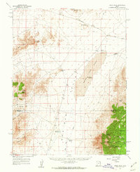
1960 · Frisco Peak
USGS Topo · 1:62,500
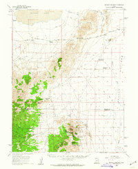
1960 · Beaver Lake Mts.
USGS Topo · 1:62,500
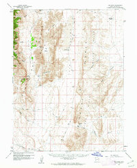
1960 · The Barn
USGS Topo · 1:62,500
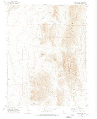
1972 · Headlight Mtn
USGS Topo · 1:24,000
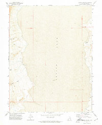
1972 · Sevier Lake SW
USGS Topo · 1:24,000
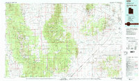
1980 · Wah Wah Mts. North
USGS Topo · 1:100,000
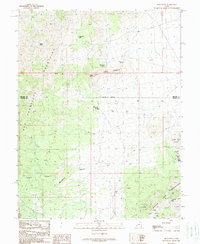
1989 · High Rock
USGS Topo · 1:24,000
1989 · Frisco Peak
USGS Topo · 1:24,000