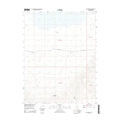
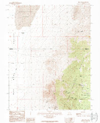
2014 Map of Iron Mine Pass
USGS Topo · Published 2014About this map
The San Francisco Mountains dominate the southern half of this landscape, rising sharply toward the prominent Iron Mine Pass. This high-desert terrain transitions north from mountain peaks into the wide expanse of the Sevier Desert, where the shoreline of Sevier Lake marks the northern boundary. The geography of the region is defined by water management and transit in an arid environment, shown through the presence of Horsetrap Reservoir and Lakeview Reservoir. The solitary line of Crystal Peak Rd serves as the primary artery through the center of the quadrangle, connecting the remote flats with the eastern mountains near Cedar Wash. This survey provides a precise look at the township and range boundaries of T24S and T25S, illustrating the intersection of natural barriers and early 21st-century land management.
Find a feature on this map
11 named features on this map. Tap any name to fly to it.
Don’t see what you’re looking for? This feature index may not catch every label — zoom into the map to look around manually.
Map Details
Editions of this 2014 Iron Mine Pass Map
This is the sole edition of this map. No revisions or reprints were ever made.
Other maps of this area

1953 · Richfield
USGS Topo · 1:250,000

1958 · Richfield
USGS Topo · 1:250,000
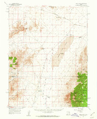
1960 · Frisco Peak
USGS Topo · 1:62,500
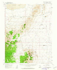
1960 · Beaver Lake Mts.
USGS Topo · 1:62,500
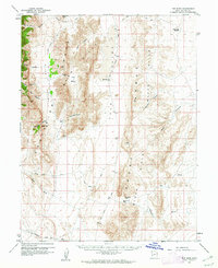
1960 · The Barn
USGS Topo · 1:62,500
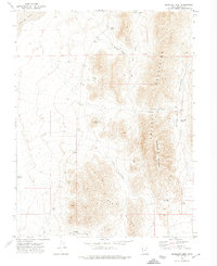
1972 · Headlight Mtn
USGS Topo · 1:24,000
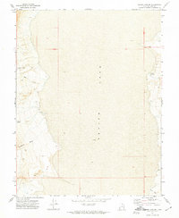
1972 · Sevier Lake SW
USGS Topo · 1:24,000
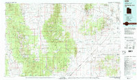
1980 · Wah Wah Mts. North
USGS Topo · 1:100,000
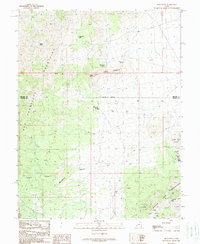
1989 · High Rock
USGS Topo · 1:24,000
1989 · Frisco Peak
USGS Topo · 1:24,000