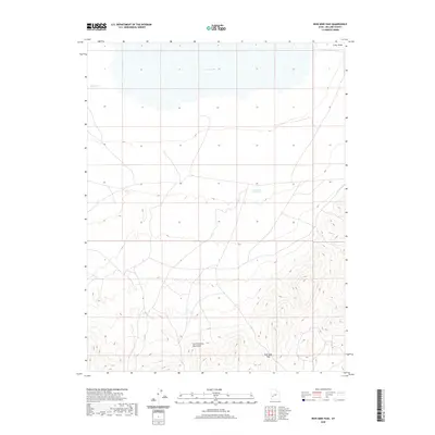
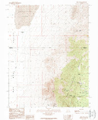
2020 Map of Iron Mine Pass
USGS Topo · Published 2020About this map
The San Francisco Mountains dominate the southern portion of this desert landscape in Millard County, culminating at the topographic transition known as Iron Mine Pass. This area reflects the arid basin-and-range geography of western Utah, where water management is a defining feature of human presence. To the north, the ephemeral expanse of Sevier Lake marks the lowest drainage point of the basin, while localized infrastructure such as Horsetrap Reservoir and Lakeview Reservoir point to the historic and ongoing efforts to capture seasonal runoff. The presence of Cedar Wash in the northeast corner further illustrates the network of intermittent drainages that shape the terrain, providing a look at the land as it appeared during the 2016 aerial surveys used to compile this modern topographic study.
Find a feature on this map
6 named features on this map. Tap any name to fly to it.
Don’t see what you’re looking for? This feature index may not catch every label — zoom into the map to look around manually.
Map Details
Editions of this 2020 Iron Mine Pass Map
This is the sole edition of this map. No revisions or reprints were ever made.
Other maps of this area

1953 · Richfield
USGS Topo · 1:250,000

1958 · Richfield
USGS Topo · 1:250,000
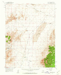
1960 · Frisco Peak
USGS Topo · 1:62,500
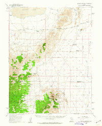
1960 · Beaver Lake Mts.
USGS Topo · 1:62,500
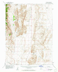
1960 · The Barn
USGS Topo · 1:62,500
1972 · Headlight Mtn
USGS Topo · 1:24,000
1972 · Sevier Lake SW
USGS Topo · 1:24,000
1980 · Wah Wah Mts. North
USGS Topo · 1:100,000
1989 · High Rock
USGS Topo · 1:24,000
1989 · Frisco Peak
USGS Topo · 1:24,000