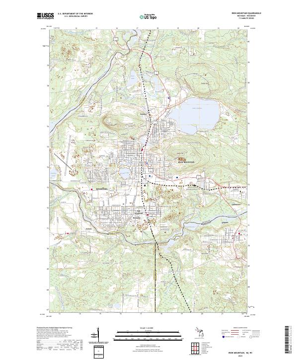
2023 Map of Iron Mountain
USGS Topo · Published 2023About this map
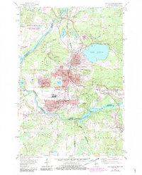
Iron Mountain and Kingsford anchor this detailed study of the Menominee Range borderlands, where the Menominee River carves a path between Michigan and Wisconsin. The landscape is defined by its industrial heritage and the natural topography that shaped it, from the heights of Pine Mountain and Millie Hill to the historical footprint of the Chapin Mine. The urban grid is dense with local history markers, including St Marys Ch, St Josephs Ch, and the Dickinson County Courthouse. Surrounding settlements like Quinnesec, Antoine, and Aurora across the river illustrate the interconnected growth of these mining and manufacturing hubs. Water features such as Lake Antoine and Crystal Lake sit alongside infrastructure like Ford Airport, while the E & L S RR tracks trace the region's long-standing reliance on rail transport.
Find a feature on this map
162 named features on this map. Tap any name to fly to it.
Don’t see what you’re looking for? This feature index may not catch every label — zoom into the map to look around manually.
Map Details
Editions of this 2023 Iron Mountain Map
This is the sole edition of this map. No revisions or reprints were ever made.
Historical Maps of Pulp Through Time
8 maps found
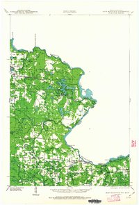
1939 Iron Mountain
Dickinson County, MI

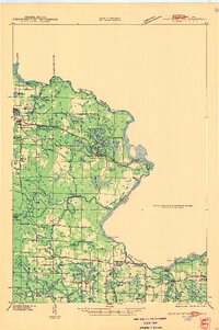
1941 Iron Mountain
Dickinson County, MI
1947 Iron Mountain
Dickinson County, MI
1954 Iron Mountain
Dickinson County, MI
1955 Iron Mountain
Dickinson County, MI

1959 Iron Mountain
Dickinson County, MI

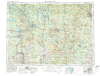
1991 Iron Mountain
Dickinson County, MI
2023 Iron Mountain
Dickinson County, MI