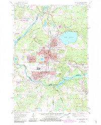
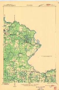
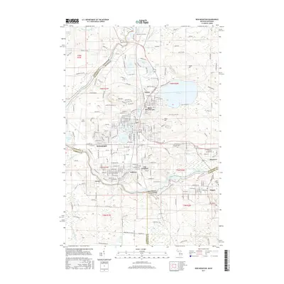
1955 Map of Iron Mountain
USGS Topo · Published 1983About this map
Iron Mountain and its neighbors Kingsford and Niagara are shown here as they appeared during a period of mid-century industrial development along the Menominee River. The landscape is heavily marked by its mining heritage, with deep excavations like the Chapin Mine, Trader Mine, and Globe Mine dotting the hills. The presence of the VA Hospital and Ford Airport highlights the area's role as a regional hub, while the residential expansion of Kingsford Heights and Garden Village suggests steady postwar growth. Infrastructure for the region's industry is prominent, from the complex rail networks of the Chicago and North Western to the Big Quinnesec Dam and Twin Falls Dam harness power from the river. Numerous local institutions are mapped, including the Amidon Sch, Roosevelt Sch, and American Martyrs Sch.
Find a feature on this map
66 named features on this map. Tap any name to fly to it.
Don’t see what you’re looking for? This feature index may not catch every label — zoom into the map to look around manually.
Map Details
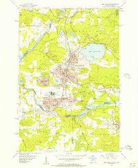
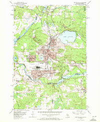
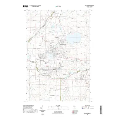
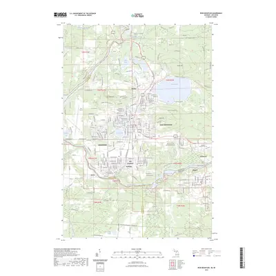
Editions of this 1955 Iron Mountain Map
3 editions found
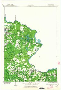
Historical Maps of Iron Mountain Through Time
12 maps found
1939 Iron Mountain
Dickinson County, MI

1941 Iron Mountain
Dickinson County, MI
1947 Iron Mountain
Dickinson County, MI
1954 Iron Mountain
Dickinson County, MI
1955 Iron Mountain
Dickinson County, MI

1959 Iron Mountain
Dickinson County, MI

1991 Iron Mountain
Dickinson County, MI
2011 Iron Mountain
Dickinson County, MI
2014 Iron Mountain
Dickinson County, MI
2017 Iron Mountain
Dickinson County, MI
2019 Iron Mountain
Dickinson County, MI
2023 Iron Mountain
Dickinson County, MI