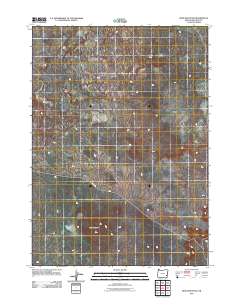
2011 Map of Iron Mountain
USGS Topo · Published 2011About this map
Iron Mountain rises as the central landmark within this portion of Malheur County, anchoring a landscape defined by an intricate network of intermittent drainage channels. The area's limited human infrastructure is focused on Kiger Rd, which serves as the primary corridor across the terrain. This 2011 survey illustrates the sparse, open character of this high desert region, where water courses are seasonal and the land use is primarily determined by the physical geography of the basin and range province. The map provides a clear look at the elevation patterns and the primitive road network used by locals and ranchers in this part of southeastern Oregon.
Find a feature on this map
2 named features on this map. Tap any name to fly to it.
Don’t see what you’re looking for? This feature index may not catch every label — zoom into the map to look around manually.
Map Details
Editions of this 2011 Iron Mountain Map
This is the sole edition of this map. No revisions or reprints were ever made.
Other maps of this area

1955 · Jordan Valley
USGS Topo · 1:250,000
1955 · Boise
USGS Topo · 1:250,000

1957 · Jordan Valley
USGS Topo · 1:250,000
1958 · Boise
USGS Topo · 1:250,000

1958 · Jordan Valley
USGS Topo · 1:250,000
1962 · Boise
USGS Topo · 1:250,000
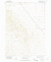
1972 · Palomino Hills
USGS Topo · 1:24,000
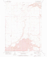
1972 · Wrangle Butte
USGS Topo · 1:24,000
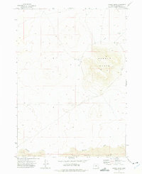
1972 · Saddle Butte
USGS Topo · 1:24,000
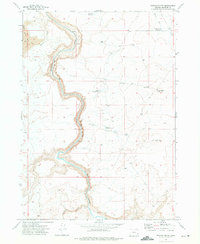
1972 · Owyhee Butte
USGS Topo · 1:24,000