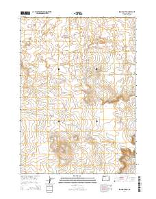
2014 Map of Iron Mountain
USGS Topo · Published 2014About this map
Iron Mountain dominates the southern landscape of this Malheur County quadrangle, rising from a high desert floor marked by ancient volcanic activity. To the north, the Saddle Butte Lava Field and the Saddle Butte Lava Tube indicate a terrain shaped by geologically recent basalt flows, providing a clear window into the volcanic history of the region. The map captures an area defined more by its natural geology than by human settlement, with the land meticulously partitioned through the Public Land Survey System. Sparse infrastructure is represented by desert tracks like Tub Springs Rd and Kiger Rd, which traverse the open range between the various township and range boundaries that define local administration.
Find a feature on this map
12 named features on this map. Tap any name to fly to it.
Don’t see what you’re looking for? This feature index may not catch every label — zoom into the map to look around manually.
Map Details
Editions of this 2014 Iron Mountain Map
This is the sole edition of this map. No revisions or reprints were ever made.
Other maps of this area

1955 · Jordan Valley
USGS Topo · 1:250,000
1955 · Boise
USGS Topo · 1:250,000

1957 · Jordan Valley
USGS Topo · 1:250,000
1958 · Boise
USGS Topo · 1:250,000

1958 · Jordan Valley
USGS Topo · 1:250,000
1962 · Boise
USGS Topo · 1:250,000
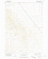
1972 · Palomino Hills
USGS Topo · 1:24,000
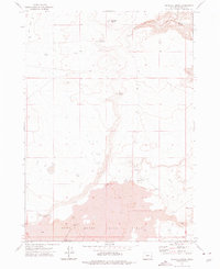
1972 · Wrangle Butte
USGS Topo · 1:24,000
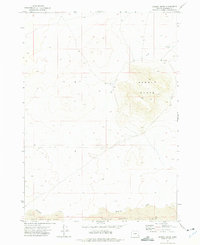
1972 · Saddle Butte
USGS Topo · 1:24,000
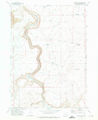
1972 · Owyhee Butte
USGS Topo · 1:24,000