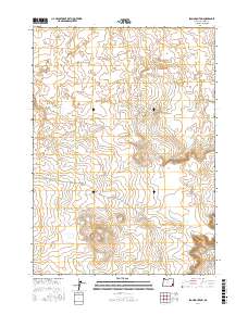
2017 Map of Iron Mountain
USGS Topo · Published 2017About this map
Iron Mtn rises as a prominent landmark in this corner of Malheur County, anchoring a landscape shaped by volcanic history and remote ranching access. The northern portion of the map is dominated by the Saddle Butte Lava Field, a complex geological feature that includes the notable Saddle Butte Lava Tube. This 2017 survey illustrates the sparse but critical transportation network of the high desert, where unpaved routes like Kiger Rd and Tub Springs Rd provide the only passage through the expansive sagebrush and basalt terrain. The map meticulously records the Public Land Survey System grid, including boundaries for t30s r40e and t31s r40e, which are essential for tracing land ownership and grazing allotments in this isolated part of the Oregon interior.
Find a feature on this map
12 named features on this map. Tap any name to fly to it.
Don’t see what you’re looking for? This feature index may not catch every label — zoom into the map to look around manually.
Map Details
Editions of this 2017 Iron Mountain Map
This is the sole edition of this map. No revisions or reprints were ever made.
Other maps of this area

1955 · Jordan Valley
USGS Topo · 1:250,000
1955 · Boise
USGS Topo · 1:250,000

1957 · Jordan Valley
USGS Topo · 1:250,000
1958 · Boise
USGS Topo · 1:250,000

1958 · Jordan Valley
USGS Topo · 1:250,000
1962 · Boise
USGS Topo · 1:250,000
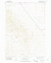
1972 · Palomino Hills
USGS Topo · 1:24,000
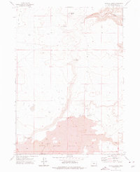
1972 · Wrangle Butte
USGS Topo · 1:24,000
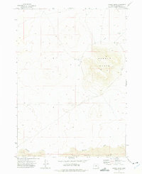
1972 · Saddle Butte
USGS Topo · 1:24,000
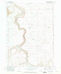
1972 · Owyhee Butte
USGS Topo · 1:24,000